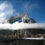
Skoro La sits at roughly 4,900–5,070 m (sources vary, so call it approximate) in the Masherbrum Mountains, and it is the old foot route between Shigar valley and Askole — the last village before the Baltoro Glacier. The full crossing runs 7–9 days, starting and finishing at jeep roads on either side, with one hard day over snow and moraine at the pass itself. It’s best walked July to mid-September, when the route is clear of fresh snow. This is not a warm-up trek: it’s a strenuous, remote, glacier-crossing route for trekkers who already have some altitude and scrambling experience behind them.
Most people who fly into Skardu go straight up the Braldo jeep road to Askole and start walking from there. Skoro La is the other way in — on foot, over a pass, past villages the jeep road skips. It’s quieter than the Baltoro approach, it’s harder than a lot of what gets sold as a “moderate” trek in Gilgit-Baltistan, and it rewards you with a close-up of the Masherbrum range you don’t get from the main trail. We run it as a stand-alone adventure and as an approach option before K2 Base Camp or Concordia itineraries for clients who want more trek and less jeep.
Key Takeaways
- Pass elevation: approximately 4,900–5,070 m (figures differ by source; treat as approximate).
- Route: Shigar valley (via Churka/Skoro village) → Skoro La → Askole, in the Braldu valley.
- Duration: 7–9 days depending on start point and acclimatisation days built in.
- Best season: July to mid-September — outside that window the pass holds snow and gets riskier.
- Difficulty: strenuous — steep ascents, a glacier crossing, and a long, exposed summit day.
- Requires a Pakistan Trekking & Mountaineering visa, not a standard tourist visa.
Where it is, and why it matters
Skoro La cuts through the western end of the Masherbrum Mountains, connecting the lower Shigar valley to the Braldu valley near Askole. Geographically it’s a shortcut: instead of driving the long, rough jeep track up the Braldu gorge to Askole, you can walk over the ridge from Shigar and drop down the far side into the same village. Historically that’s exactly what it was used for — a foot and pack-animal route linking Shigar’s farming villages to the herding communities and trade movement further up the Braldu valley, long before there was a jeep road at all.
For trekkers today, that history is still visible in the trail itself: hamlets, grazing grounds, and a route that feels lived-in rather than built for tourism. You get genuine Balti village life at both ends, a proper high pass in the middle, and Masherbrum’s western walls filling the skyline for most of the crossing.
The route, step by step
- Day 1 – Skardu to Shigar/Churka. Drive up the Shigar valley, past Shigar Fort and the string of orchard villages, to the trailhead near Churka. Short walk to a first camp.
- Day 2–3 – Up Skoro Lungma. A long, steady climb through side valleys and grazing pastures, gaining altitude toward the snowline. Camps get more basic as you go higher.
- Day 4 – Crossing Skoro La. The hard day: a pre-dawn start, several hours on rock and snow to the pass, then a long descent onto the Skoro La glacier on the far side. Weather and snow conditions decide how the day actually goes.
- Day 5–6 – Down to Thall Brakk and the Braldu villages. Steep descent off the glacier, through small hamlets (Manjong, Kurpe) toward the Braldu River, crossed by suspension bridge.
- Day 7 – Askole. Arrival at Askole, the last permanent village before the Baltoro Glacier — either the end of the trip, or the start of a K2 Base Camp or Concordia trek for clients who continue.
- Extra days. We build in a buffer day around the pass crossing for weather, plus the drive back to Skardu from Askole (or straight onward up the Baltoro).
The view, and a bit of history
From the pass itself you’re looking straight into the western Masherbrum Mountains — a wall of rock and hanging glacier with none of the crowds of the main Baltoro trail. Explorer accounts from the early twentieth century, including the Workman expeditions that mapped the Skoro La glacier, describe it as one of the more demanding minor passes in the region — and walking it today, that’s still an accurate description. It isn’t a famous name like Gondogoro La, and that’s part of the appeal: you’re crossing genuinely quiet ground.
When to go
| Months | Conditions | Verdict |
|---|---|---|
| May – June | Snow often still holds on the pass; river crossings can run high with meltwater | Marginal — only with a flexible itinerary and an experienced guide’s judgment call |
| July – mid-September | Pass generally clear of fresh snow, trail and glacier crossing most stable | Best window |
| Late September – October | Cold nights, early snow risk returning to the pass | Possible but narrowing fast — talk to us before booking this late |
| November – April | Pass closed by snow | Don’t attempt it |
How hard is it, honestly
Strenuous. This is not a scenic valley walk. You’re looking at long trekking days (up to 10 hours on the summit push), a genuine glacier crossing with crevasse risk, steep loose ground on both sides of the pass, and several days where there’s no vehicle access and no quick way out. We put it above Gondogoro La in seriousness for parties without prior high-altitude experience — it’s shorter, but it’s less trodden, which means less margin if something goes wrong. Good fitness, some prior trekking at altitude, and a guide who knows the current glacier conditions are all non-negotiable here.
Two schematics
Safety, straight up
The real risk here is the pass day itself: a glacier crossing with crevasse hazard, changeable weather at altitude, and several days between the pass and the nearest jeep road on either side. We carry a satellite phone on every trip we run, and we have an established helicopter-rescue contact and evacuation plan for this part of the Karakoram before anyone leaves Skardu — not as an afterthought, but as a condition of the trip going ahead. Get proper trekking insurance with high-altitude and helicopter evacuation cover before you book — see our guide to travel insurance for high-altitude trekking in Pakistan.
Permits & visa
Trekking in this zone requires a Trekking & Mountaineering visa/permit process — this is separate from a standard Pakistan tourist visa, and it’s worth sorting well before your dates. See our full Pakistan visa guide for international trekkers for the current requirements.
Getting there, and what it costs
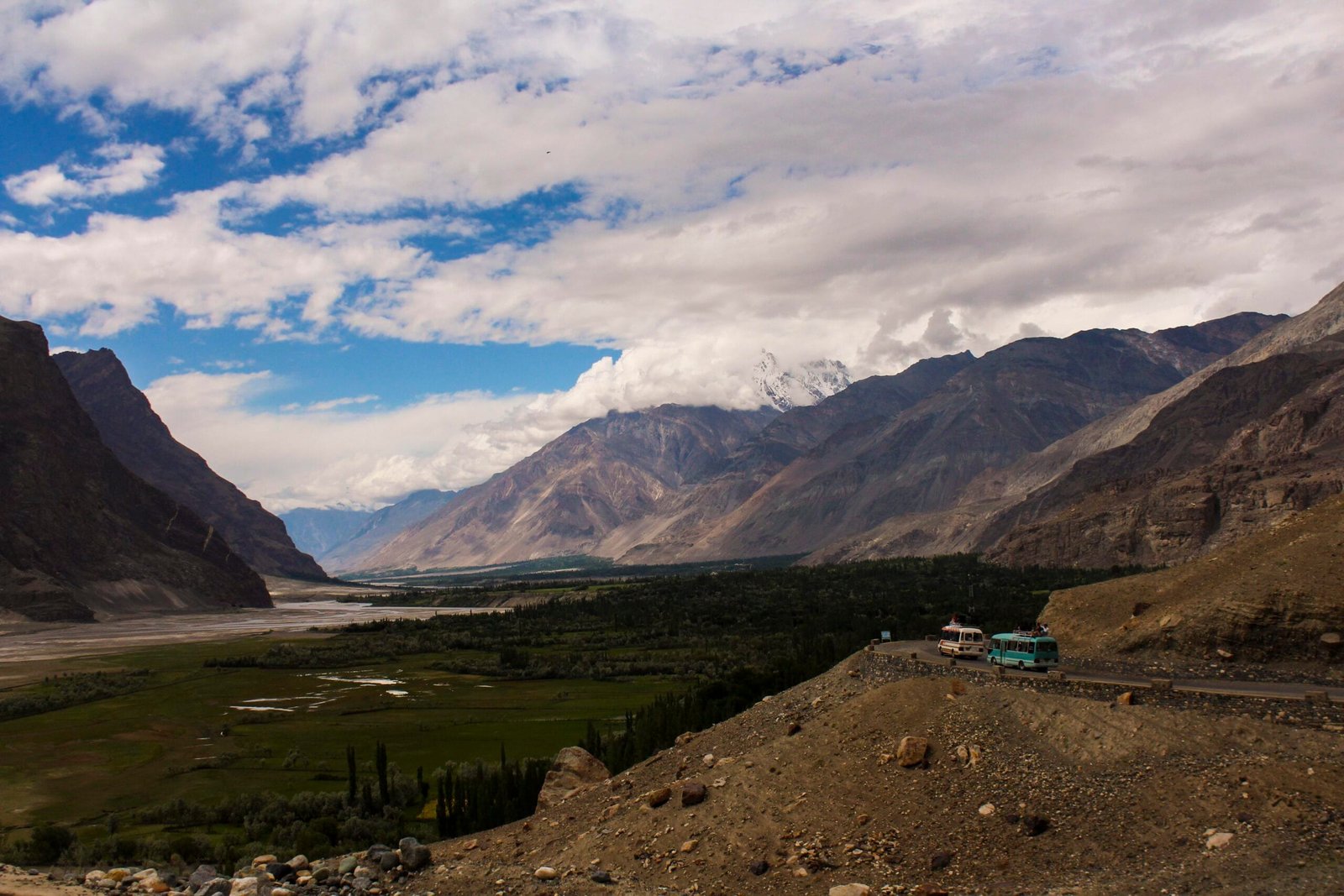
You’ll fly or drive into Skardu first — see our guide on how to get to Skardu for both options. From Skardu it’s a drive up the Shigar valley to the trailhead, past Shigar Fort and the heritage villages that make a good add-on day before or after the trek. We keep pricing personal to the group size, dates, and whether you’re combining Skoro La with a continuation trek toward Trango Towers or onward to K2 — message us on WhatsApp and we’ll give you a straight number, not a brochure figure.
Frequently asked questions
How high is Skoro La, exactly?
Sources put it between roughly 4,900 m and 5,070 m — treat the exact figure as approximate; different surveys and route variants account for the spread.
Is Skoro La harder than Gondogoro La?
It’s shorter, but it sees far fewer trekkers and involves a genuine glacier crossing with less infrastructure and fewer parties around if something goes wrong. We rate it as at least as serious, and recommend it only for trekkers with prior high-altitude trekking experience.
Can I combine Skoro La with K2 Base Camp?
Yes — since it finishes in Askole, it works well as an alternative, quieter approach before joining our K2 Base Camp trek itinerary.
Do I need a guide?
Yes. Glacier travel, route-finding on the pass, and current snow conditions all require local knowledge. We use 100% local Balti guides from Shigar and Askole who know this specific crossing.
What permits do I need?
A Trekking & Mountaineering visa/permit, distinct from a tourist visa — see our visa guide for current details, and check our Karakoram packing list and acclimatisation guide while you’re preparing.
Want to walk Skoro La with people who’ve actually crossed it?
Local Balti team, not a broker — real safety planning, fair pricing.
WhatsApp +92 312 9921574 or email info@karakoramventure.com
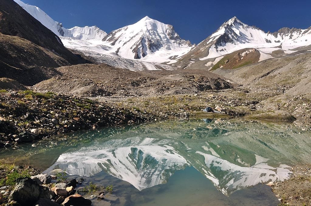
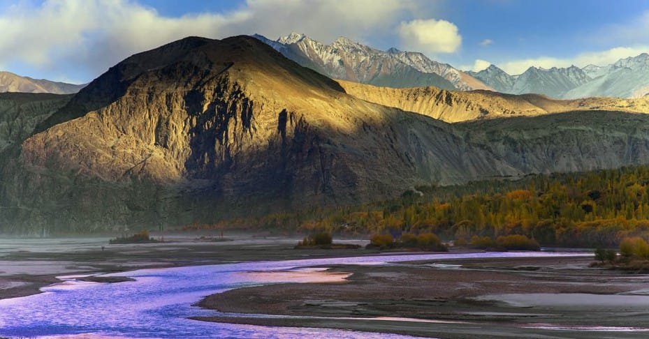
Sources & attribution: pass photo by blackseav (CC BY 3.0); Braldu River photo by Anas4045 (CC BY-SA 4.0); Shigar valley entrance photo by Syed M. Mohsin Jilani (CC BY-SA 3.0) — all via Wikimedia Commons.