



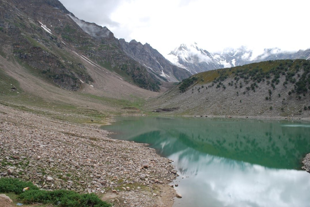
Rama Lake sits at roughly 3,300 m in a pine and cedar forest above Astore town, on the eastern side of Nanga Parbat. That is the world’s 9th highest mountain. You reach it by a rough 11 km jeep track out of Astore followed by a short walk, not a multi-day trek. Astore Valley itself runs about 120 km from the edge of the Deosai Plain down toward the Indus. It is the gateway to the Rupal side of Nanga Parbat. That side holds what is often called the highest continuous mountain face on earth. The road and the forest track are usually clear from June to September.
We run trips into Astore out of Skardu, and it’s one of the quieter corners of Gilgit-Baltistan — most visitors go to Fairy Meadows for their Nanga Parbat view and never see this side of the mountain. Astore has its own history tied to ours. For centuries it was ruled by a line of chiefs descended from the Maqpon dynasty of Skardu. It only became its own district in 2004. Do you want a full day out of the vehicle, a forest walk to a genuine alpine lake, and a look at Nanga Parbat from an angle most trekkers skip? Then this is it. We’ll be straight about what it is and isn’t: it’s an easy, scenic outing, not an expedition.
Key Takeaways
- Rama Lake sits at approximately 3,300 m (some tourism sources cite up to 3,500 m); Astore town itself is around 2,600 m.
- Astore Valley is roughly 120 km long, in Astore District, Gilgit-Baltistan — granted district status in 2004.
- The lake is reached by an 11 km jeep track from Astore through Rama’s pine and cedar forest, then a short, easy walk — no technical trekking involved.
- Nanga Parbat (8,126 m, the world’s 9th highest peak) is visible from the valley on clear days; the more dramatic Rupal Face view is further south at Tarshing.
- Best season is roughly June to September — Rama Valley is snow-covered 7–8 months of the year.
- From Skardu, access is via the Deosai Plain (about 152 km, 7–8 hours, only when Deosai’s road is open) or via Gilgit and Jaglot on sealed road.
Where Astore Valley is, and why it’s worth the detour
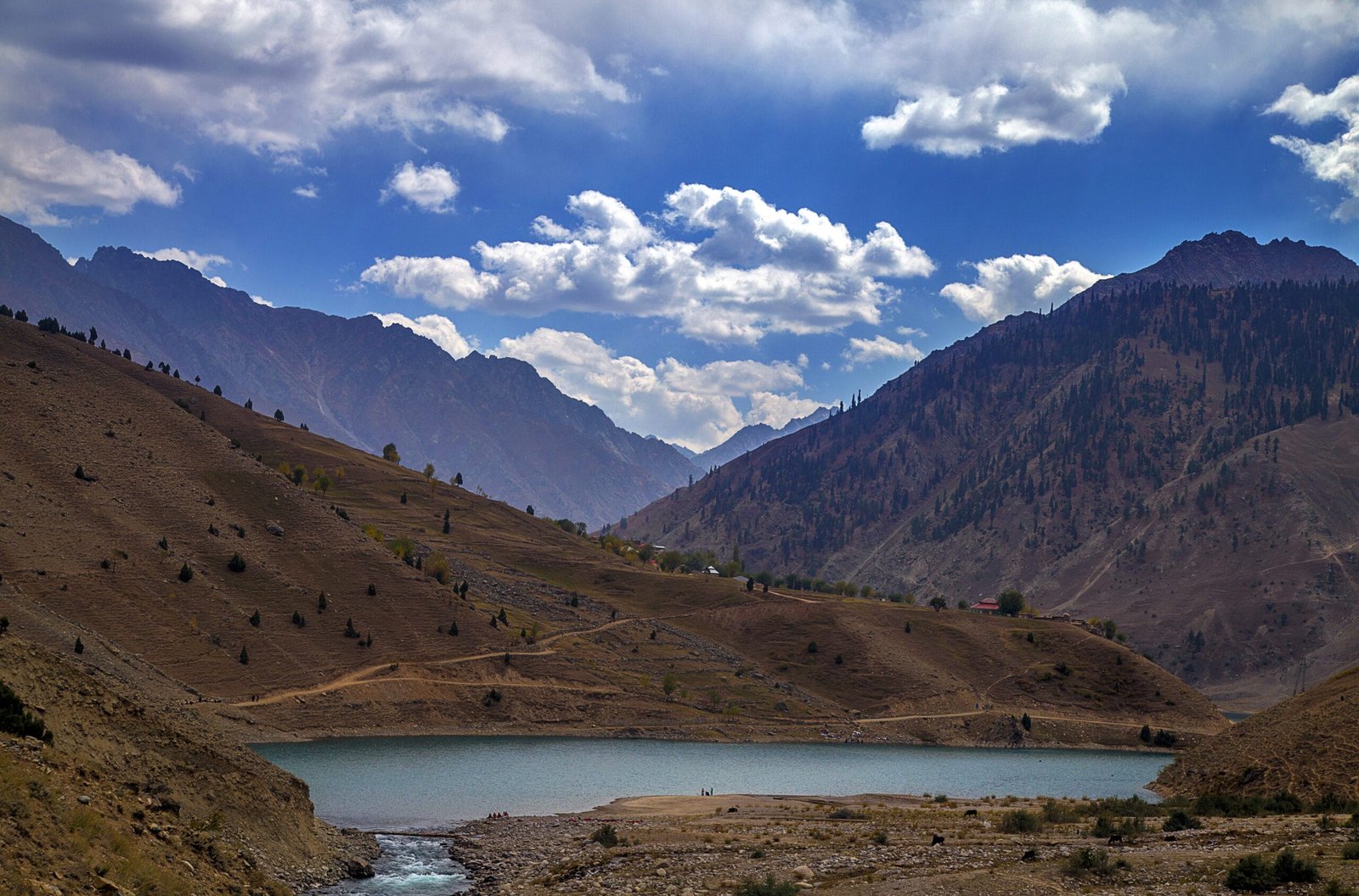
Astore District sits on the eastern flank of Nanga Parbat, bordering Deosai to the south and the Indus Valley to the north. The valley floor runs around 2,600 m above sea level and stretches roughly 120 km. More than fifty villages are dotted along it: Chilm, Bubin, Gorikot, Gudai, Eid Ghah, Chongra, Tarshing and others. Most are farming and herding communities that have worked this ground for generations. Before 2004 it was administered as part of Diamir District; it’s been its own district since.
The history runs deeper than the paperwork. According to the old Imperial Gazetteer of India, Astore was brought under Skardu’s rule around 1600. Ali Sher Khan Anchan, the Maqpon ruler of Skardu, did it. He handed the valley to his grandson Shah Sultan. That line governed Astore with real independence until the Sikh Empire’s conquest in 1842. The valley then passed into the princely state of Jammu and Kashmir. Eventually it became part of Pakistan after the 1947 Gilgit uprising. It’s a reminder that Skardu’s old reach extended well past the Baltoro. This valley was run from our town for two and a half centuries.
The route to Rama Lake, step by step
This isn’t a trek in the sense our K2 or Nanga Parbat base camp guides use the word. It is a jeep ride and a walk you can do in trainers, weather permitting. Here’s how a day (or overnight) out of Astore usually runs:
- Skardu to Astore. Either via the Deosai Plain (about 152 km, 7–8 hours by 4×4 — only possible when the Deosai road is snow-free, roughly July to early September) or the longer way round via Gilgit and Jaglot on the Karakoram Highway, which stays open more reliably.
- Astore town to the Rama turn-off. A short drive on the valley road, passing farming villages including Gudai.
- Astore to Rama meadows — the jeep track. About 11 km of rough 4×4 track climbing through pine, cedar and fir forest. It’s slow — count on a couple of hours for the climb, even though the distance is short. Along the way you pass three small lakes locally called Sarot.
- The walk to Rama Lake. From the meadows, it’s a short, gentle walk through the forest to the lakeshore itself — the only genuinely “on foot” part of the day.
- Optional: on to Tarshing and the Rupal Valley. If you have an extra day, the road continues south to Tarshing, the trailhead for the Rupal side of Nanga Parbat and the start of our full Nanga Parbat Base Camp trek.
Nanga Parbat’s other face — the Rupal Valley
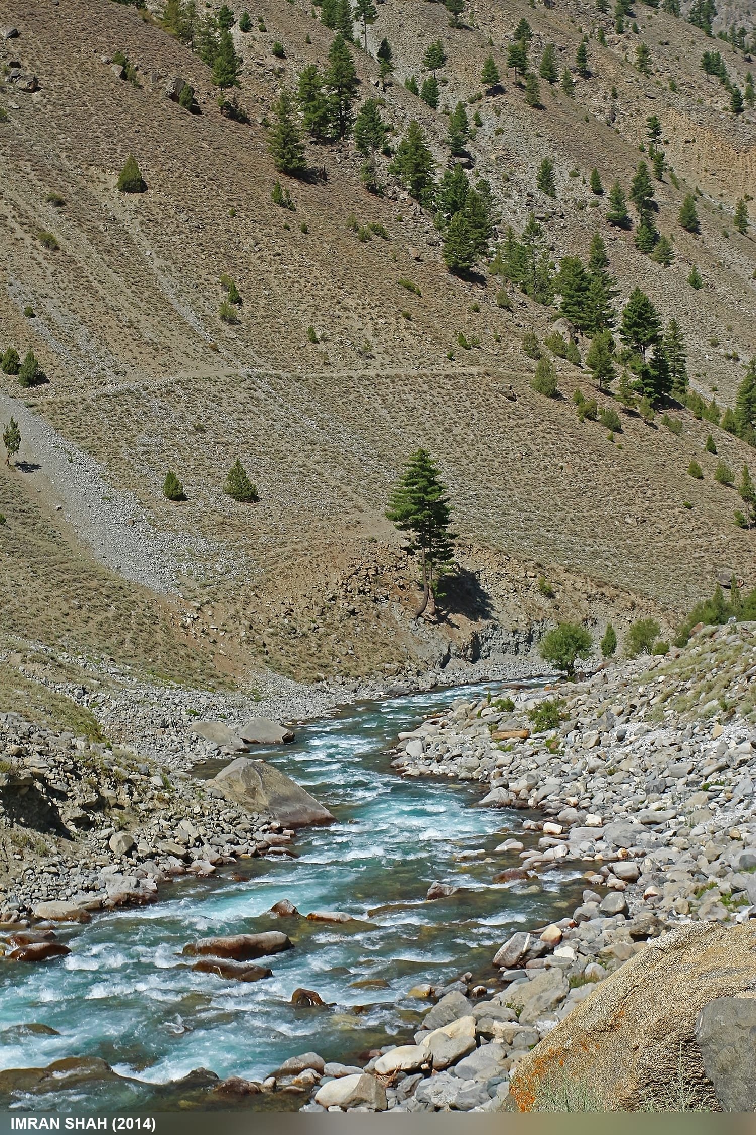
Fairy Meadows, on the north side of Nanga Parbat, gets the crowds. Astore looks at the mountain from the east and south instead. If you push on to Tarshing and the Rupal Valley, you’re looking up at the Rupal Face. It is routinely described as the highest continuous mountain wall on earth. The wall rises roughly 4,600 m from the valley floor to the 8,126 m summit in one unbroken sweep. It’s a different kind of view from the classic Fairy Meadows postcard: less framed, more overwhelming, because there’s nothing else nearby to give it scale.
Nanga Parbat itself is the world’s 9th highest mountain and the second-highest in Pakistan after K2. It has a hard climbing history. Hermann Buhl made the solo first ascent in 1953 via the Rakhiot (Diamir side) route. Decades of attempts on the Rupal Face then earned the mountain its “Killer Mountain” nickname long before K2’s reputation caught up with it. You don’t need to climb any of it to feel the scale — standing in Rupal or Tarshing and looking up is enough.
When to go
| Months | Conditions | Verdict |
|---|---|---|
| Nov – May | Rama Valley and the Deosai route both snowbound; Astore reachable only via Gilgit-Jaglot, and even then travel is cold and limited | Avoid — most of the route is closed |
| June | Snow retreating from Rama’s forest track; Deosai road opening but can still be unreliable early in the month | Good, if you check road status first |
| July – August | Peak season — Deosai route reliably open, Rama meadows green, forest track passable | Best window |
| September | Still clear, fewer crowds, cooler and crisp | Excellent, our pick for photography |
| October | Snow returning to higher ground; Deosai route closing | Marginal — go early in the month or use the Gilgit route |
How hard is this, really?
Honestly — not hard at all, and that’s the point. The jeep track from Astore to Rama is rough and slow. That can be uncomfortable on a bad back. Still, it demands nothing physical beyond sitting in a 4×4. The walk from the meadows to the lakeshore is short and gentle. It is well within reach of most travelers, including families and older clients. At 3,300 m a single-day visit needs no acclimatisation schedule. See our acclimatisation guide for what that actually looks like on our multi-day treks. If you extend into the Rupal Valley toward Nanga Parbat Base Camp, that’s a different proposition entirely — real trekking days, real altitude, and it belongs in the same conversation as our other high-altitude treks, not this one. Don’t let anyone sell you Rama Lake as an “adventure trek” — it isn’t, and we won’t pretend otherwise.
Getting there, and what it costs
Most of our clients see Astore and Rama Lake as an add-on to a Skardu-based trip. It bridges in via the Deosai jeep safari when that road is open. Alternatively it is a stop on the way to or from Fairy Meadows and the Nanga Parbat side of things. If you’re coming straight from Skardu, read up on how to get to Skardu first, since your Astore routing depends on how you arrived.
We keep pricing personal rather than posting a number that goes stale the moment fuel or permit costs shift. Message us with your dates and group size. We’ll quote a fair price, no corners cut. Local Balti drivers, our own jeeps, no broker in between.
Getting here is the trip. Astore sits on the far side of the Deosai Plain, and the crossing is the reason to come. Our 7-day Deosai Jeep Safari, Skardu to Astore traverses the plateau and comes out under Nanga Parbat’s eastern side, from $890 per person. If Rama Lake itself is the goal, our 4-day Astore Valley & Rama Lake Tour crosses Deosai, reaches the lake and Tarashing under the Rupal Face, from $560 per person. For the wider northern loop taking in Astore, Fairy Meadows and the Karakoram Highway, the 12-day North Pakistan Jeep Safari runs from $850. The Deosai road is only open roughly July to early September. Outside that window we route you in via Gilgit and Jaglot, and we will tell you straight if it is not passable the week you want to travel.
Frequently asked questions
How high is Rama Lake?
Around 3,300 m above sea level, based on the elevation commonly given for Rama Valley. Some tourism sources cite figures closer to 3,500 m for the lake itself — treat either as approximate until you’ve checked current GPS data on the day.
Do I need a permit to visit Astore Valley or Rama Lake?
No special mountaineering or trekking permit is required just to visit the valley and the lake — it’s an open tourism zone. You do need Pakistan’s standard visa arrangements sorted in advance. If you extend further into the Rupal Valley toward Nanga Parbat Base Camp, different rules can apply — we’ll confirm before you go.
Can I see Nanga Parbat from Rama Lake?
Yes, on clear days. For the truly dramatic view — the Rupal Face itself — you need to continue south to Tarshing and the Rupal Valley, which is closer to the mountain’s most famous wall.
How do I get to Astore Valley from Skardu?
Either via the Deosai Plain (about 152 km, 7–8 hours by 4×4, only possible when that road is snow-free, roughly July to early September. Otherwise take the longer route via Gilgit and Jaglot on sealed road, which is more reliable outside peak Deosai season.
Is Rama Lake a difficult trek?
No. It’s a rough jeep track followed by a short, easy walk through forest — nothing like our multi-day K2 or Nanga Parbat base camp treks. It’s a good option for travelers who want a genuine mountain lake without a trekking itinerary.
Want to add Astore and Rama Lake to your Skardu trip?
WhatsApp us at +92 312 9921574 or email info@karakoramventure.com. We’re a local Balti team running our own jeeps — not a broker relaying your booking to someone else.
Sources & attribution: Wikipedia (Rama Lake, Astore Valley, Nanga Parbat), visitgilgitbaltistan.gov.pk, and standard route/season information cross-checked across regional travel guides. Photos: DilectusPK (CC BY-SA 3.0), Furqanlw (CC BY-SA 4.0), and Imran Shah (CC BY-SA 2.0), all via Wikimedia Commons.

