Distaghil Sar is 7,885 m high and it is the highest mountain in the Hispar Muztagh, the seventh highest in Pakistan and the nineteenth highest in the world. It stands on the divide between the Hispar Glacier in Nagar and the Shimshal valley to the north, roughly 30 to 35 days round trip from Gilgit for a full expedition and about 12 to 16 days for a base camp trek. The climbing season runs May to August. It is a serious, remote 7,000er with very few ascents and no easy line to the top.
We run this out of Skardu and Gilgit with our own Balti and Wakhi team, and we will be straight with you: Distaghil Sar is not a peak you tick off. It has been climbed a handful of times since 1960 and turned back far more parties than it has let through. If you want a first big Karakoram summit, go to Spantik instead. If you want a wall of ice nobody else is standing under, read on.
Key Takeaways
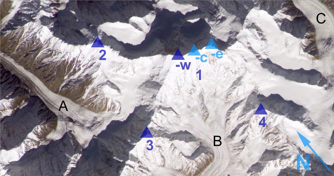
- Altitude: 7,885 m main summit; central and eastern tops of roughly 7,760 m and 7,700 m sit on the same long ridge.
- Where: Hispar Muztagh, Gilgit-Baltistan — between the Hispar Glacier (Nagar) and the Shimshal valley.
- Rank: highest peak of the Hispar Muztagh, 7th highest in Pakistan, 19th highest in the world.
- First ascent: 9 June 1960, by an Austrian expedition led by Wolfgang Stefan; Günther Stärker and Diether Marchart reached the top.
- Season: May to August, with June and July the working window.
- Difficulty: expedition-grade. Previous 7,000 m experience, glacier travel and fixed-rope skills required.
Where Distaghil Sar is, and why it matters
Walk east up the Hispar Glacier from Nagar and the wall on your left never stops. That wall is the Hispar Muztagh, and Distaghil Sar is its high point: a broad, three-topped massif of ice and hanging seracs, not a spire. From the south it is a fortress of avalanche-swept faces. From the north, above the Yazghil Glacier and Shimshal, it is even bigger and even less forgiving.
Most people meet this range without knowing it. Anyone who has done the Snow Lake and Hispar La traverse has walked directly beneath these peaks. The difference is that trekkers pass through; expeditions stop and look up for six weeks.
The route, step by step
There are two honest ways in, and they are different expeditions. The southern approach comes up the Hispar Glacier from Nagar. The northern approach comes from Shimshal and the Yazghil Glacier, which is the side several modern attempts have used. Below is the southern Hispar itinerary we run most often.
- Islamabad to Gilgit — by air when the weather allows, otherwise two days on the Karakoram Highway. Build in buffer days either way.
- Gilgit to Nagar and Hispar village — jeep up the Hispar valley, road end at the village. Last shop, last mobile signal.
- Hispar village to Bitanmal — five to six hours on the glacier flank, camp around 3,800 m.
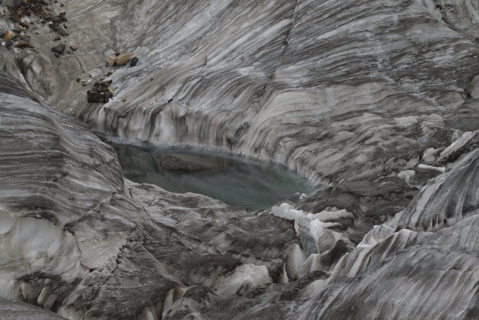
- Up the Hispar Glacier — two to three days of moraine and ice to the side glacier below the peak.
- Base camp — roughly 4,500 to 4,800 m depending on the line and the year. Porters turn around here.
- Acclimatisation and camps — three to four high camps between about 5,400 m and 6,900 m, fixed rope on the steep ice, rotations up and down over two to three weeks.
- Summit push — a long day from the top camp, weather dependent, with a hard turnaround time set before you leave the tent.
The history: 1960, and the silence since
The first ascent came on 9 June 1960. An Austrian expedition led by Wolfgang Stefan worked the south-west side, and Günther Stärker and Diether Marchart reached the summit. Kurt Diemberger, who had already been on Broad Peak and Dhaulagiri, was a member of that team.
What is striking is what did not happen next. Distaghil Sar has seen very few successful ascents in the decades since, and long stretches with no summits at all. Serac danger, a long committing approach and unsettled Karakoram weather have sent most parties home. That is not marketing copy; it is the record. Compare it with Broad Peak or the Gasherbrums, which see teams every season, and you understand what kind of mountain this is.
When to go
| Months | Conditions | Verdict |
|---|---|---|
| April | Deep snow low down, jeep road often still shut, cold camps | Too early |
| May | Approach opens, heavy snow high, good for load carries and acclimatisation | Good for the build-up |
| June–July | The working window: longest days, most settled spells, snow consolidating | Best |
| August | Warm, more serac and rockfall activity, monsoon edge can reach in | Workable, higher objective risk |
| September onward | Cold, short days, storms | Not recommended |
For the wider picture across the region, see our guide to the best time to visit Gilgit-Baltistan.
How hard is it, honestly
Hard. Not technically desperate in the way Gasherbrum IV is desperate, but sustained, exposed to overhead hazard, and remote enough that a problem high on the mountain is a very long way from help.
What we expect of climbers on this trip: at least one previous 7,000 m summit or a strong 8,000 m record, confident crampon and ice-axe work on 50-degree ice, competence with fixed lines and jumar, and the fitness to carry loads at altitude day after day. Read our acclimatisation guide before you commit. If any of that reads as a stretch, tell us now and we will put you on Diran or Shispare first. We would rather sell you the right mountain than the biggest one.
Trekkers can still see this world without climbing it. The base camp trek up the Hispar, or a shorter walk to Rush Lake in the same district, puts you under these faces in under two weeks.
Getting there, and what it costs
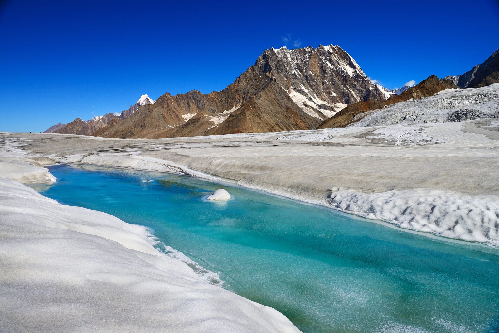
Fly Islamabad to Gilgit when the weather allows, or drive the Karakoram Highway and use the extra day as a buffer. From Gilgit it is jeep to Nagar and up the Hispar valley, or up to Shimshal if we are working the northern side. From the road end everything moves on porters’ backs.
On price: we keep pricing personal rather than posting a number that goes stale the moment permit fees, porter rates or flights move. Tell us your dates, your team size and which side you want to attempt, and we will send a full costed plan with nothing hidden in the small print. Fair price, no corners cut — and we will show you exactly where the money goes, because on a mountain this remote the line items are the safety plan.
If you are combining this with other travel in the region, our Shimshal Pass trek pairs naturally with the northern approach.
Frequently asked questions
How high is Distaghil Sar?
The main summit is 7,885 m. It is the highest peak in the Hispar Muztagh, the seventh highest mountain in Pakistan and the nineteenth highest in the world. Two lower tops on the same massif reach roughly 7,760 m and 7,700 m.
Who climbed Distaghil Sar first?
An Austrian expedition led by Wolfgang Stefan. Günther Stärker and Diether Marchart reached the summit on 9 June 1960 via the south-west side. Kurt Diemberger was a member of that expedition.
How long does a Distaghil Sar expedition take?
Plan roughly 30 to 35 days from arrival in Islamabad, including travel, the multi-day glacier approach, acclimatisation rotations and weather days. A base camp trek without climbing is about 12 to 16 days.
Can trekkers visit Distaghil Sar base camp?
Yes. Fit trekkers with glacier experience can walk up the Hispar Glacier to the base camp area. It is a genuine expedition-style trek: no lodges, no signal, and porters and camps all the way.
What is the best season to climb Distaghil Sar?
May to August, with June and July the strongest window. August is warmer and brings more serac and rockfall activity.
Talk to the team that lives here
Send us your dates and we will tell you honestly whether Distaghil Sar is your mountain this year, or whether you should build to it. You are talking to a local Balti and Wakhi team in Gilgit-Baltistan, not a broker in another country reselling your trip.
WhatsApp: +92 312 9921574 · Email: info@karakoramventure.com
Local hands, real safety, fair price.
Sources & attribution: altitude, ranking and first-ascent details cross-checked against Wikipedia (Distaghil Sar, Hispar Muztagh, Hispar Glacier) and the Alpine Journal 1961 account of the 1960 Austrian expedition; approach and season detail from published expedition reports. Figures are given as commonly recorded and are approximate. Images: NASA/ISS, derivative by Rupert Pupkin (public domain); Yousaf Feroz Gill (CC BY-SA 4.0); Vasiq Eqbal (CC BY-SA 4.0) — all via Wikimedia Commons.