



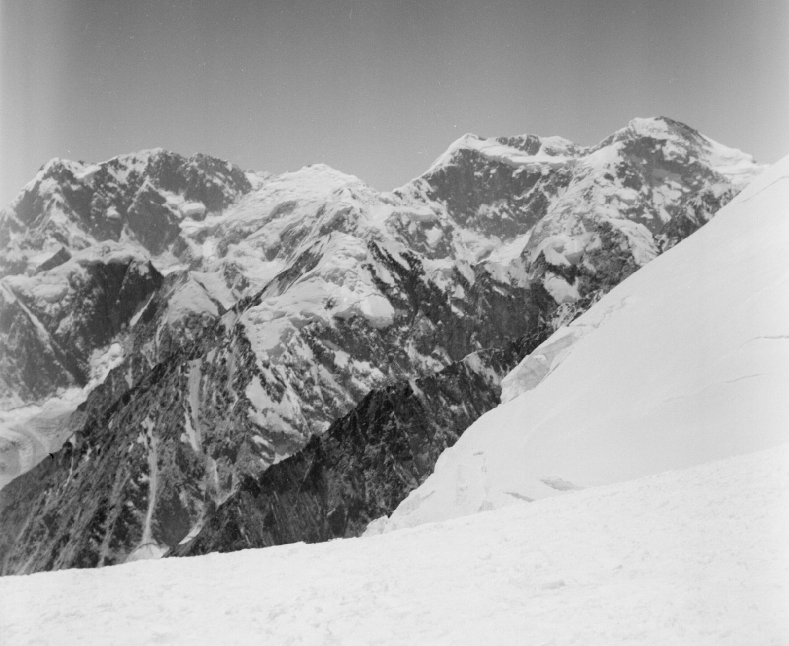
Istor-o-Nal is 7,403 m (24,288 ft) and the third-highest mountain in the Hindu Kush. It stands a few kilometres north-east of Tirich Mir, across the Tirich Glacier in Upper Chitral, Pakistan, and it crowns a massif carrying eleven separate summits above 7,000 m. Base camp sits at roughly 4,700 m on the Tirich Glacier, about three days on foot from the last village at Shagrom, and the working season runs June to September. It is the 68th-highest independent peak on earth — and one of the least seen, because Tirich Mir blocks it from almost every viewpoint in the valley.
We are a Skardu company and Chitral is a long way west of our home valleys, so we will be straight with you about how we run it. Our own Balti expedition staff travel in with you, and we work with Chitrali high-altitude porters who have walked the Tirich Glacier their whole lives — because on that glacier, local knowledge is worth more than any brochure. Istor-o-Nal is not a beginner’s mountain and it is not a crowded one. In most years nobody stands on top of it at all. That is the appeal, and it is also the warning.
Key takeaways
- Height: 7,403 m (24,288 ft) — third-highest in the Hindu Kush, 68th-highest independent peak in the world.
- Where: Upper Chitral District, Khyber Pakhtunkhwa, Pakistan — north-east of Tirich Mir (7,708 m), across the Tirich Glacier.
- Base camp: about 4,700 m on the Tirich Glacier, roughly 30 km and three walking days above Shagrom village.
- First ascent: 8 June 1955, west ridge — Joseph E. Murphy Jr. and Thomas A. Mutch, with Major Ken Bankwala, on a Princeton Mountaineering Club expedition.
- Season: June to September; July and August are the main climbing months, September the clearest for base-camp trekking.
- Difficulty: a serious, remote 7,000 m expedition. The base-camp trek alone is a demanding high-altitude walk.
Where Istor-o-Nal is, and why nobody talks about it
Pakistan is famous for the Karakoram — K2, the Baltoro, Concordia. The Hindu Kush is the other range, running west from Gilgit into Chitral and on towards Afghanistan, and its high ground is concentrated in one enormous knot of ice above the Tirich valley. Tirich Mir (7,708 m) is the king of it. Istor-o-Nal is the third-highest summit in the whole range, and yet most visitors to Chitral have never heard the name.
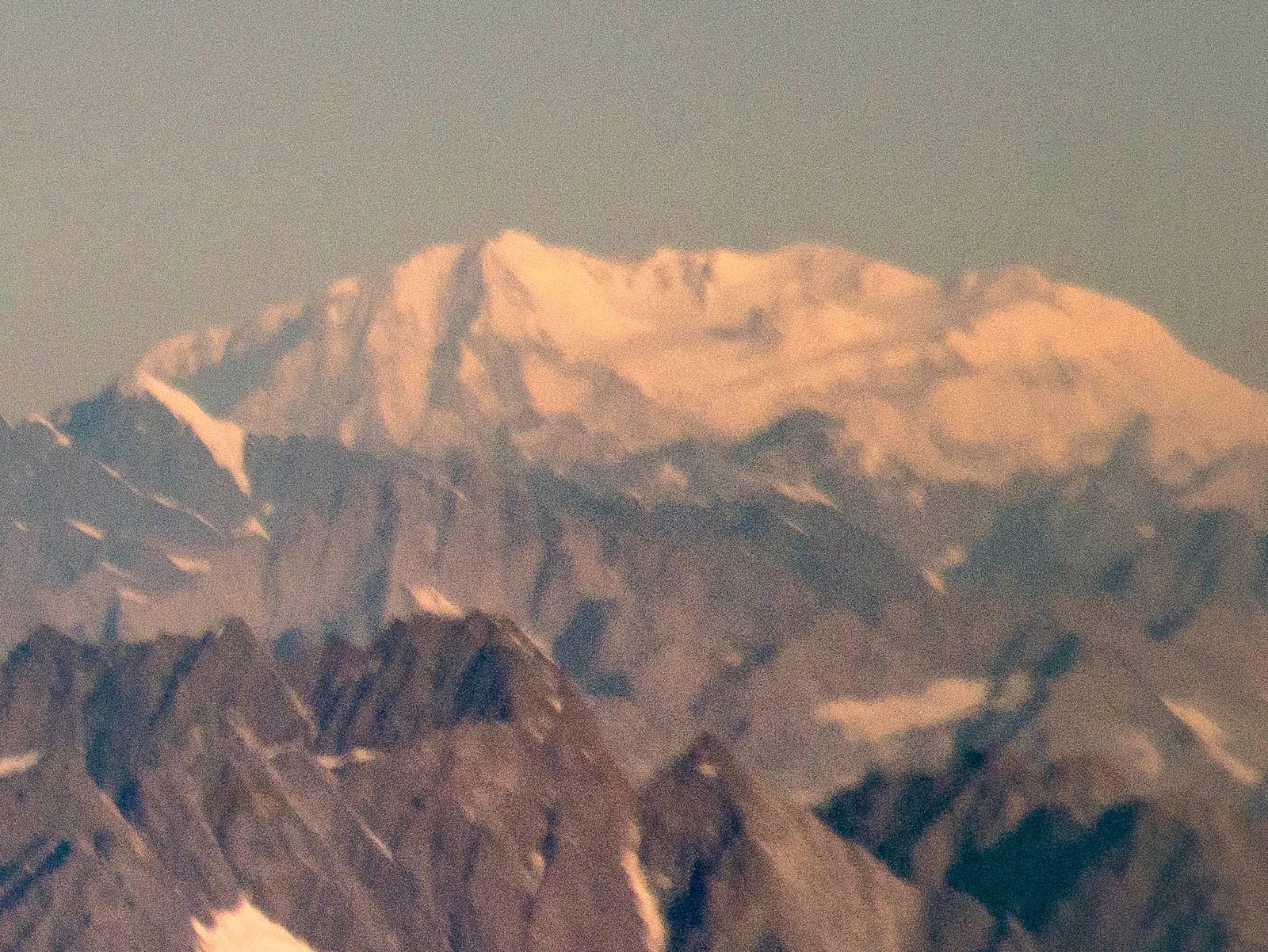
The reason is simple geometry. From the villages below, Tirich Mir sits directly in the line of sight and Istor-o-Nal hides behind it. You have to walk up onto the glacier, or fly over, before the mountain shows itself. The name comes from Khowar, the Chitrali language: istor means horse, and “Istoro Nal” is usually translated as horseshoe. Why a horseshoe, nobody can tell us for certain — the origin of the name is genuinely unclear, and we would rather say that than invent a legend for you.
The approach: Chitral to the Tirich Glacier, step by step
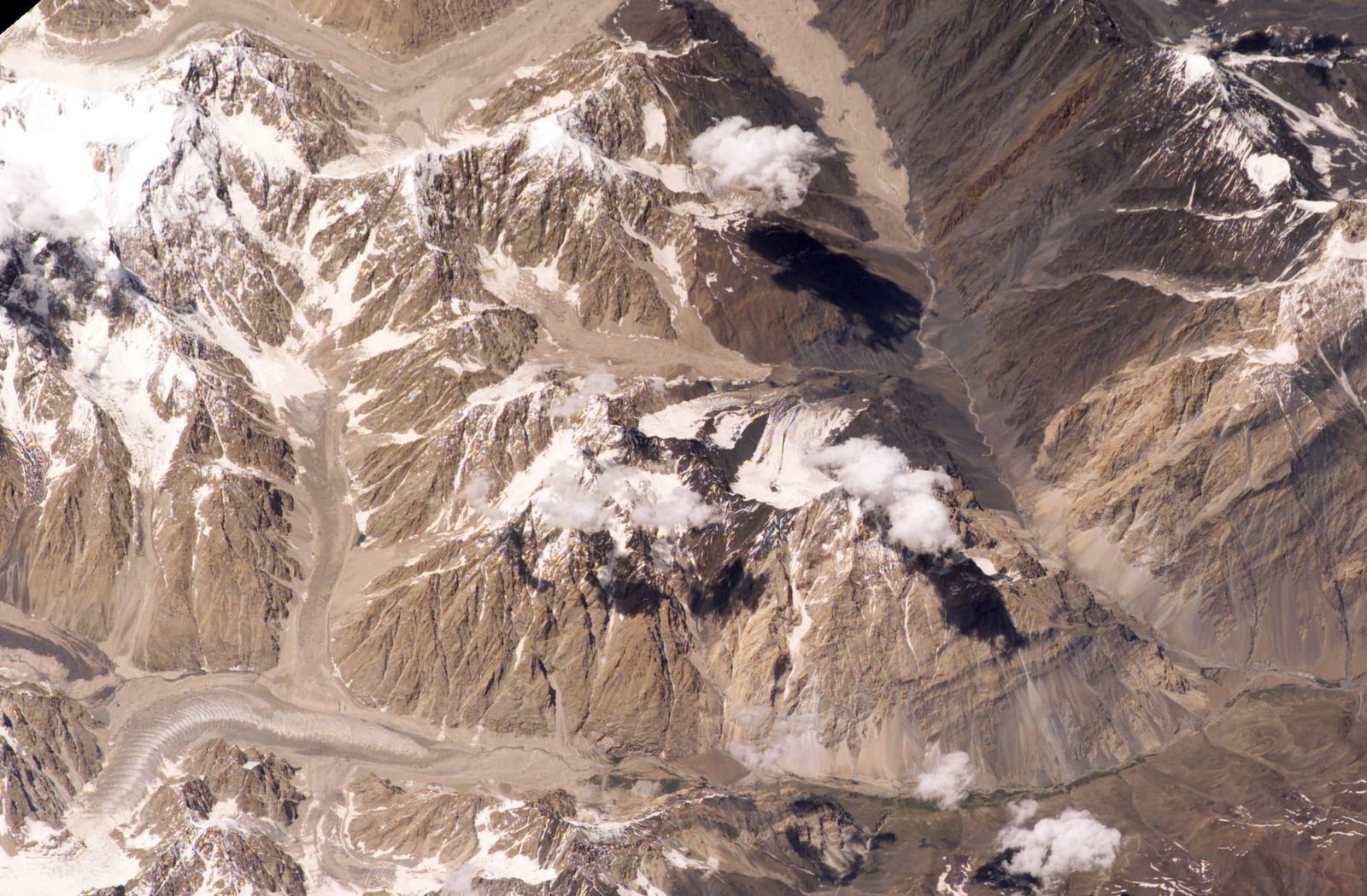
Everything starts in Chitral town and ends at a tent on moraine. Shagrom is the uppermost village of the Tirich valley, roughly 135 km from Chitral and about 60 km beyond Buni, the headquarters of the upper district. From Shagrom it is around 30 km of walking to base camp, normally taken in three stages.
- Chitral to Buni and on to Shagrom (jeep). A long mountain road day. Shagrom is the last shop, the last mobile signal, the last roof.
- Shagrom to Sherniak (3,540 m). About 13 km, five to six hours. The valley narrows and the walking turns to stone.
- Sherniak to Shoghore Baisun (about 4,038 m). Roughly 12 km, five to six hours. This is where the altitude starts to be felt properly.
- Shoghore Baisun to base camp (about 4,700 m). Around 10 km, five to six hours onto the glacier — the site often called Babu Camp, or Tirich Concordia.
- Acclimatisation and load-carrying above base camp. For a climbing expedition, this is the real work: rotations, higher camps, waiting on weather.
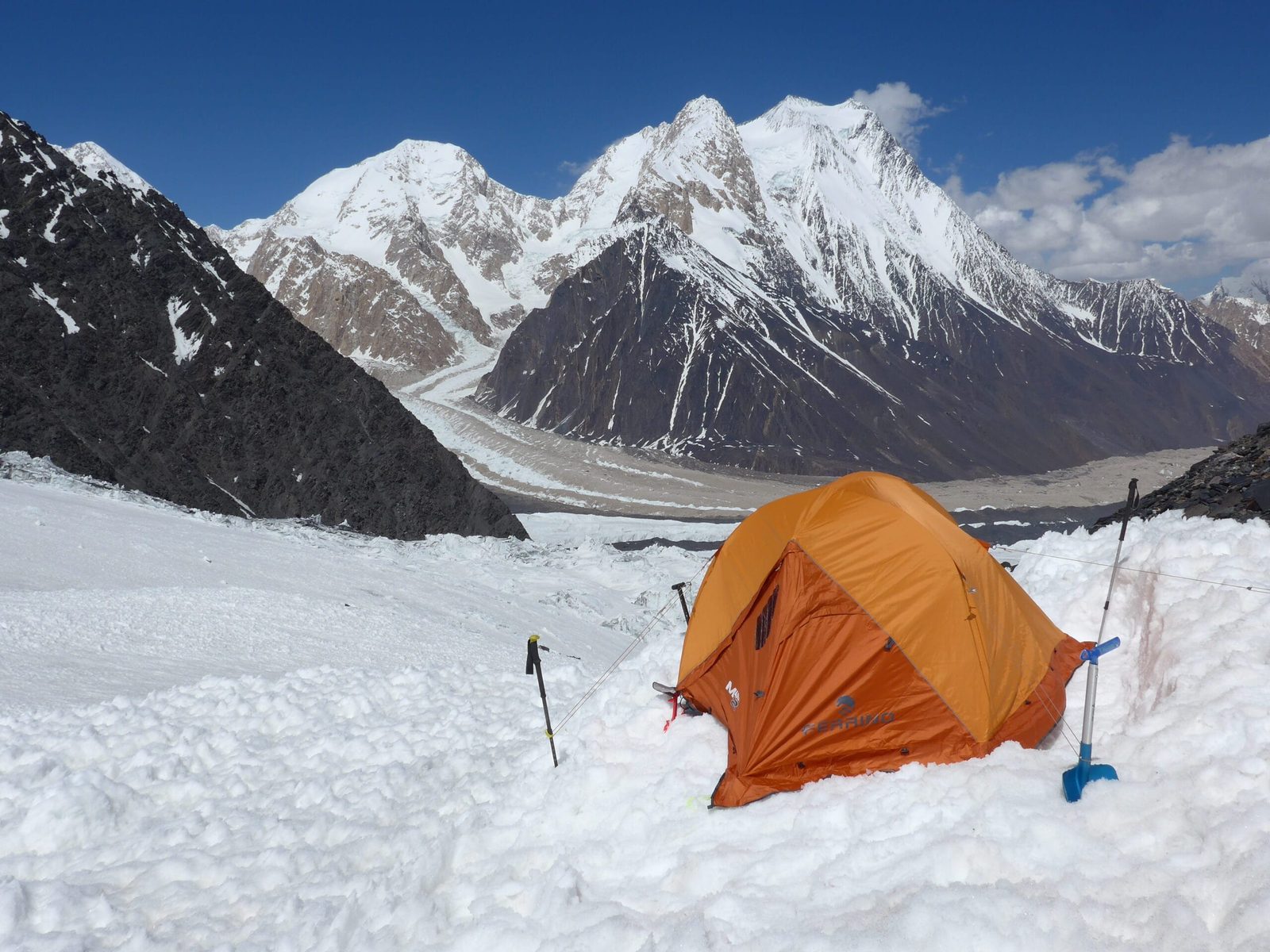
Trekkers who only want the amphitheatre stop at base camp, spend a day or two there, and walk out the same way. Climbers keep going, onto the west ridge from the southern side of the peak — the line the first ascensionists used in 1955. Whichever you are doing, read our acclimatisation guide before you commit to a schedule; the Tirich valley gains height fast.
The 1955 first ascent — and the summit that may not have been the summit
On 8 June 1955, two Americans, Joseph E. Murphy Jr. and Thomas A. Mutch, reached the top of the west ridge with the Pakistani officer Major Ken Bankwala leading the expedition. They were a Princeton Mountaineering Club party, small and thinly funded by the standards of 1950s Himalayan mountaineering, and what they achieved was at that time the second-highest summit ever reached by Americans.
There is a footnote, and it is an honest one. When a Catalan team led by Josep Manuel Anglada climbed the mountain on 12 August 1969, they reported that the 1955 party had in fact stopped on the ridge between the feature known as the Rock Pinnacle and Istor-o-Nal North (7,373 m), rather than on the main summit — the Americans had been in cloud and could not see what lay beyond. We pass this on as it is recorded in the mountaineering literature; the 1955 climb remains a hard, bold piece of work either way, and the reporting on Hindu Kush summit claims from that era is not always tidy.
If that kind of history is what pulls you, the neighbouring peaks carry it too — see our guides to Saraghrar (7,340 m) and Koyo Zom (6,872 m).
Where it sits among the giants
Noshaq (7,492 m) sits on the Afghan border and is the second-highest of the Hindu Kush; Istor-o-Nal comes next. Stand at base camp and you are inside a ring of eleven summits over 7,000 m, all belonging to the same massif. There is nothing modest about the place.
The climb in profile
When to go
| Months | Conditions | Verdict |
|---|---|---|
| April – May | Deep snow low in the valley, unstable glacier bridges, cold nights, roads still opening. | Too early for the glacier. |
| June | Snow consolidating, first expeditions arriving, base camp still cold. | Good for climbers who want firm snow. |
| July | Warmest and most settled; more meltwater and rockfall on the moraine. | Main climbing month. |
| August | Settled weather continues; hot in the valleys, workable high up. | Main climbing month. |
| September | Cold, clear, stable air; autumn colour in the Tirich valley. | Best for base-camp trekking and photography. |
| October onward | Snow returns to the approach, camps and services close down. | Season over. |
For the wider picture across the north, see the best time to visit Gilgit-Baltistan.
How hard is it, honestly
The base-camp trek is a demanding high-altitude walk: three long days, 4,700 m at the end of it, no lodges, no teahouses, everything carried. If you are fit, have walked at altitude before, and are comfortable sleeping cold on moraine, it is within reach. If your longest walk this year was a weekend hill, it is not.
The climb is another category entirely. Istor-o-Nal is a full expedition on a remote 7,000 m peak: glacier travel, crevasse rescue, fixed rope, higher camps, and the patience to sit out weather for days. You need real alpine experience — ideally a previous 6,000 m or 7,000 m summit. Our Spantik (7,027 m) expedition is the sensible stepping stone, and we will say so plainly if we think you should do that first. We would rather lose the booking than put you somewhere you cannot get down from.
Gear matters more here than on a Karakoram trek, because you are further from resupply — work through our packing and gear list and bring the warm layer you think you will not need.
The real risk, stated plainly
Chitral is remote even by Pakistani mountain standards, and it is further from a helicopter base than the Baltoro. From base camp, a serious injury or altitude illness means a long carry back down the Tirich Glacier before any aircraft can help, and weather can ground a flight for days. That is not a reason to stay home — it is the reason we carry a satellite phone on every expedition, build the evacuation plan before departure rather than during an emergency, insist on insurance that actually covers helicopter rescue above 6,000 m, and keep the schedule loose enough to descend early. Budget operators cut these things because you cannot see them on an itinerary.
Permits and visa
Trekking to base camp and climbing the peak are treated differently. Peaks above 6,500 m in Pakistan require a mountaineering permit with a royalty payable to the government, arranged in advance — and Istor-o-Nal at 7,403 m is firmly in that bracket. Fees, paperwork and zone rules change from season to season, and Chitral’s position near the Afghan border means additional checks; we confirm the current requirements in writing before you book rather than guessing. You will also need the correct visa — a Trekking and Mountaineering visa, not an ordinary tourist visa. Start with our Pakistan visa guide for trekkers.
Getting there, and what it costs
Chitral is reached by air from Islamabad when the weather allows, or overland via the Lowari Tunnel — the road is long and you should build in buffer days either way. From Chitral it is a jeep day up to Shagrom, then you are walking. If you are combining this with the Karakoram side of the country, plan the logistics early; the two ranges are a long way apart and the connection eats days.
On price: we keep pricing personal rather than posting a number that goes stale the moment permit fees or fuel move. Tell us your dates, your group size, and whether you want base camp or the summit, and we will send you a real figure with the inclusions written out — guides, porters, permits, food, safety equipment, all of it visible. Fair price, no corners cut. What we will not do is quote you low and then thin out the staff or the safety kit to make the margin work.
Frequently asked questions
How high is Istor-o-Nal and where is it?
Istor-o-Nal is 7,403 m (24,288 ft), the third-highest mountain in the Hindu Kush and the 68th-highest independent peak in the world. It lies in Upper Chitral District, Khyber Pakhtunkhwa, Pakistan, a few kilometres north-east of Tirich Mir across the Tirich Glacier.
Who first climbed Istor-o-Nal?
Americans Joseph E. Murphy Jr. and Thomas A. Mutch reached the top of the west ridge on 8 June 1955, on a Princeton Mountaineering Club expedition led by Pakistani Major Ken Bankwala. After a Catalan team led by Josep Manuel Anglada climbed the peak on 12 August 1969, it was reported that the 1955 party had stopped short of the main summit, on the ridge near Istor-o-Nal North (7,373 m), having been in cloud.
How do you get to Istor-o-Nal base camp?
Chitral town to Buni and on by jeep to Shagrom, the uppermost village of the Tirich valley, roughly 135 km from Chitral. From Shagrom it is about 30 km of walking in three stages — Sherniak (3,540 m), Shoghore Baisun (about 4,038 m), then base camp on the Tirich Glacier at about 4,700 m.
When is the best time to climb or trek to Istor-o-Nal?
June to the end of September. July and August are the main climbing months; September is usually the clearest and coldest, and the best window if you only want to trek to base camp and photograph the massif.
Do I need a permit for Istor-o-Nal?
Yes. As a peak above 6,500 m it requires a mountaineering permit and royalty arranged in advance with the Pakistani authorities, and you will need a Trekking and Mountaineering visa rather than a tourist visa. Rules and fees change between seasons, so we confirm current requirements in writing before booking.
Talk to the team that will actually be on the mountain
Tell us your dates and whether you want base camp or the summit, and we will come back with a real plan and a real price — no broker in the middle. You will be dealing with the same local Balti team that runs the trip, from the first message to the walk out.
WhatsApp: +92 312 9921574 · Email: info@karakoramventure.com
Local hands, real safety, fair price.
Sources & attribution: elevation, ranking and first-ascent details from Wikipedia (Istor-o-Nal), Joseph E. Murphy Jr., “The Ascent of Istor-o-Nal”, American Alpine Journal 1956, and the Alpine Club Himalayan Index; approach stages and distances compiled from published Chitral trekking itineraries and cross-checked between sources, and marked approximate where they differ. Images: Ja71Ku (CC BY-SA 4.0); NASA Earth Science and Remote Sensing Unit, Johnson Space Center (public domain); Terichvi3 (CC BY-SA 4.0); Khankayani512 (CC BY-SA 4.0) — all via Wikimedia Commons.

