Six peaks above 7,000 m, run from Skardu by our own Balti team. Permits, oxygen, insured high-altitude porters and a turnaround policy that is actually enforced.
Six peaks above 7,000 m, run from Skardu by our own Balti team. Permits, oxygen, insured high-altitude porters and a turnaround policy that is actually enforced.
Gilgit-Baltistan: the Region, the Valleys, the Highway and the Mountains
HomeGilgit-Baltistan: the Region, the Valleys, the Highway and the Mountains
Gilgit-Baltistan is the Pakistani territory that holds almost everything people come north for. First, there are five of the world’s fourteen eight-thousanders. Then there is the Karakoram Highway, and there are valleys that were independent kingdoms within living memory. Moreover, it is administered separately from the Kashmir valley and from Pakistan’s four provinces. It is also where our company lives. In short, this page is the map of the whole region. It covers where it is, how the valleys fit together, how you get in and when to come. Finally, it lists every guide we have written about the region.
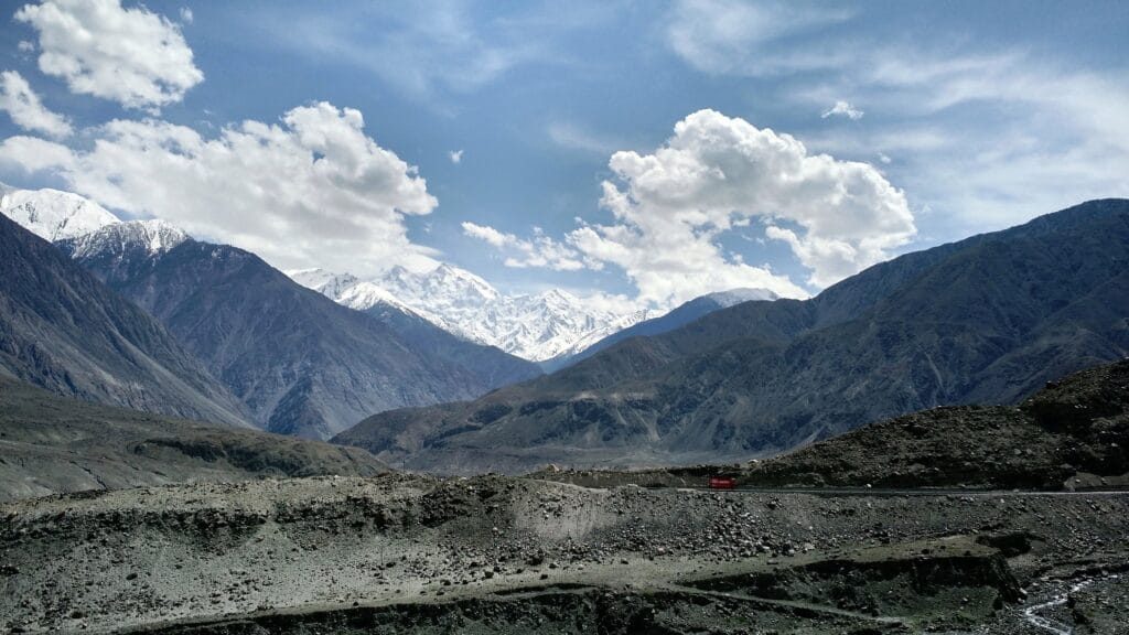
Nanga Parbat above the Karakoram Highway. Photo: Muhammad Usman, CC licence, via Wikimedia Commons.
Gilgit-Baltistan at a glance
What it is
An administrative territory of Pakistan in the far north, administered separately from Azad Kashmir and from the four provinces. Its capital is Gilgit; Skardu is the capital of Baltistan within it
The ranges
Three meet here: the Karakoram, which runs about 500 km across northern Pakistan into China and India; the western end of the Himalaya at Nanga Parbat; and the Hindu Kush beyond Chitral
The eight-thousanders
K2 8,611 m, Nanga Parbat 8,126 m, Gasherbrum I 8,080 m, Broad Peak 8,051 m, Gasherbrum II 8,035 m. Four of them are visible from one campsite at Concordia
The ice
The Baltoro runs 63 km. The Biafo and Hispar meet at Snow Lake to form a 100 km glacier highway that medieval traders used. The Batura runs 57 km, nearly to the highway
The Karakoram Highway
About 1,300 km from Hassan Abdal to Kashgar, roughly 887 km of it inside Pakistan. Built jointly by Pakistan and China between 1966 and 1979 and opened to the public in 1986
Highest road point
The Khunjerab Pass, about 4,700 m, the world’s highest paved international border crossing. The border itself is open 1 May to 31 December, weather permitting
Main valleys
Baltistan with Skardu, Shigar, Khaplu and Hushe; Hunza and Nagar; Gilgit with Naltar and Bagrot; Astore and Diamer under Nanga Parbat; Ghizer with Phander and the Shandur Pass
Season
April to October for most of the region. Khunjerab and Babusar roughly late May or June to October. Skardu daytime highs run about 20 degrees in June into the low twenties in July and August
Where Gilgit-Baltistan is, and is it part of Kashmir?
It sits at the top of Pakistan, north of the Indus. There it wraps around the point where the Karakoram, the Himalaya and the Hindu Kush meet. However, it is not the Kashmir valley and it is not Azad Kashmir. It is administered separately, and it has its own assembly. Furthermore, it became a district-level administrative region in its own right over the course of the twentieth century. Travellers reach it on ordinary Pakistani roads with the tourist e-visa. Because the question comes up constantly, we answer it plainly in the FAQ below.
The valleys, and how they fit together
Think of it as five doors. First, Baltistan, with Skardu at its centre, is the gateway to the Baltoro and K2. It also holds Shigar, Khaplu and Hushe. Second, Hunza and Nagar hold the forts, Attabad Lake, the Passu Cones and the Khunjerab. Third, Gilgit is the hinge, with Naltar and Bagrot hidden behind it. Fourth, Astore and Diamer sit under Nanga Parbat. Finally, Ghizer runs west to Phander and the Shandur Pass, where the highest polo ground in the world is.
Getting into Gilgit-Baltistan
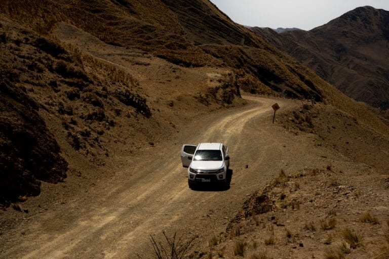
Two arteries, and they are completely different experiences. The Karakoram Highway runs up the western edge through Chilas and Hunza. Most people drive it in five to seven days one way, with real stops. Meanwhile, the 2010 Attabad landslide drowned about 19 kilometres of the old road. It was bypassed in 2015 with a 24-kilometre stretch and five tunnels. Alternatively, you can fly: Islamabad to Skardu in an hour when the weather allows, or Islamabad to Gilgit. The getting to Skardu guide compares the flight against the road honestly.
The mountains and the ice
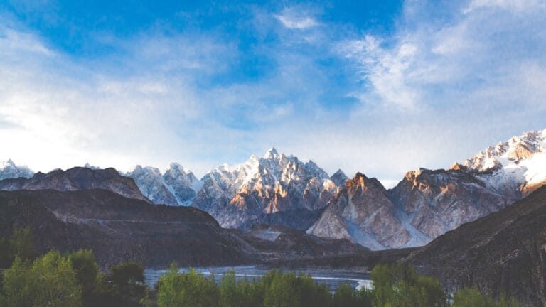
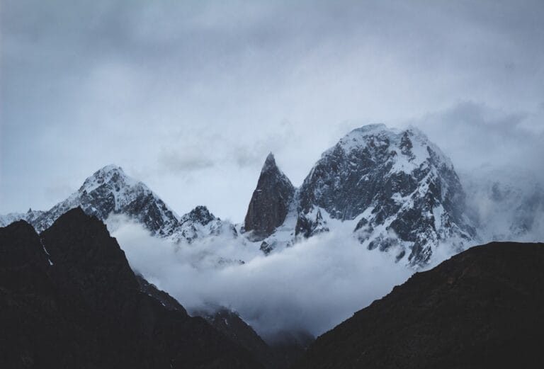
The Karakoram is the reason the region exists in the imagination. Four eight-thousanders stand within sight of a single campsite, which happens nowhere else on earth. Moreover, the glaciers are less scenery than infrastructure. The Baltoro is the road to K2, and the Biafo and Hispar together make a hundred-kilometre crossing. Our Karakoram Range guide explains exactly where the range runs and why it is not the Himalaya. In addition, the mountaineering guide covers climbing here.
When to visit Gilgit-Baltistan
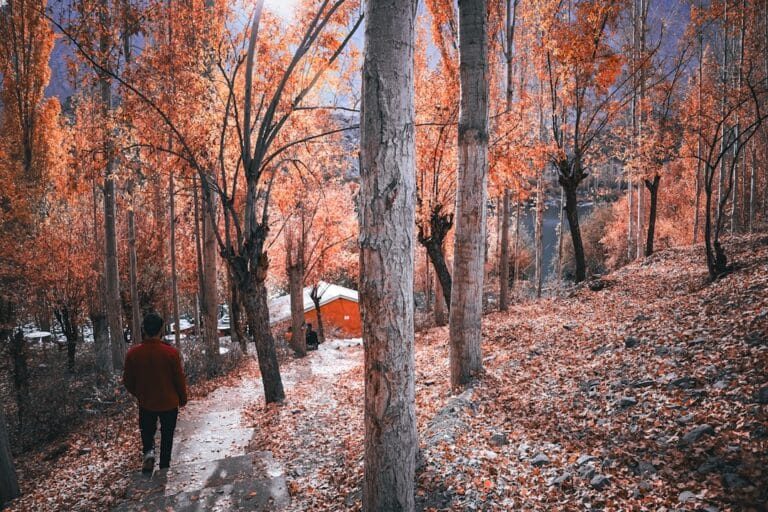
April and early May for blossom in the orchards. June to September for the treks, the high passes, Deosai and Khunjerab. Then mid-October for the gold. Finally, November to March gives a quiet, cold, beautiful region with most of the high roads shut. The season-by-season guide goes through it month by month. Meanwhile, Hunza or Skardu answers the question first-timers actually ask.
The people and the year
Balti in Baltistan is the westernmost language of the Tibetan family. Besides that, there is Burushaski and Wakhi in Hunza, and Shina through Gilgit and Astore. Our guides, cooks and porters come from these valleys. If you can time a trip to it, the summer festival calendar is when the region is most itself. Moreover, the photography guide is written for the light here rather than for a camera brand.
Tours across the region
Of course, these are the trips that cross more than one valley, run by our own drivers and guides.
No. Gilgit-Baltistan is administered separately from Azad Kashmir and lies well north of the Kashmir valley. Moreover, it has its own assembly and administration. Therefore visiting needs nothing beyond the ordinary Pakistani tourist e-visa.
Is Gilgit-Baltistan part of Pakistan?
Pakistan administers it as a territory, separate from its four provinces. However, in practical travel terms it is Pakistan. For example, you use Pakistani roads, a Pakistani visa, Pakistani currency and domestic flights from Islamabad.
Where is Gilgit-Baltistan?
It lies at the northern tip of Pakistan, north of the Indus, where the Karakoram, the Himalaya and the Hindu Kush meet. Gilgit is the capital. Meanwhile, Skardu is the capital of Baltistan within it.
Is Gilgit-Baltistan safe for tourists?
Yes, and it is calmer than the country's reputation suggests. Indeed, it is a mountain region whose economy runs on climbing and trekking. Therefore the genuine risks here are altitude, weather and roads rather than security.
How do you get to Gilgit-Baltistan?
Either fly from Islamabad to Skardu or Gilgit, which takes about an hour and is weather-dependent. Alternatively, drive the Karakoram Highway. Most people do that over five to seven days one way, with stops. In any case, we run both and build buffer days around the flights.
What is the best time to visit Gilgit-Baltistan?
April for blossom, June to September for treks and the high passes, and mid-October for autumn colour. Meanwhile, the Khunjerab and Babusar passes are roughly open from late May or June to October.
How high is the Karakoram Highway?
Its highest point is the Khunjerab Pass area at about 4,700 metres. Therefore it is the highest paved international border crossing in the world. However, the border is open only from 1 May to 31 December, weather permitting.
How many 8,000 m peaks are in Gilgit-Baltistan?
Five: K2, Nanga Parbat, Gasherbrum I, Broad Peak and Gasherbrum II. Moreover, four of them are visible from Concordia, a single campsite on the Baltoro Glacier.
Plan the whole region with people who live in it
Our office is in Skardu and our guides come from these valleys. Tell us how long you have. Then we will tell you honestly how much of Gilgit-Baltistan fits. Local hands, real safety, fair price. 2027 dates are open.
Contains information about the traffic source or campaign that directed user to the website. The cookie is set when the GA.js javascript is loaded and updated when data is sent to the Google Anaytics server
6 months after last activity
__utmv
Contains custom information set by the web developer via the _setCustomVar method in Google Analytics. This cookie is updated every time new data is sent to the Google Analytics server.
2 years after last activity
__utmx
Used to determine whether a user is included in an A / B or Multivariate test.
18 months
_ga
ID used to identify users
2 years
_gali
Used by Google Analytics to determine which links on a page are being clicked
30 seconds
_ga_
ID used to identify users
2 years
_gid
ID used to identify users for 24 hours after last activity
24 hours
_gat
Used to monitor number of Google Analytics server requests when using Google Tag Manager
1 minute
_gac_
Contains information related to marketing campaigns of the user. These are shared with Google AdWords / Google Ads when the Google Ads and Google Analytics accounts are linked together.
90 days
__utma
ID used to identify users and sessions
2 years after last activity
__utmt
Used to monitor number of Google Analytics server requests
10 minutes
__utmb
Used to distinguish new sessions and visits. This cookie is set when the GA.js javascript library is loaded and there is no existing __utmb cookie. The cookie is updated every time data is sent to the Google Analytics server.
30 minutes after last activity
__utmc
Used only with old Urchin versions of Google Analytics and not with GA.js. Was used to distinguish between new sessions and visits at the end of a session.
End of session (browser)
Marketing cookies are used to follow visitors to websites. The intention is to show ads that are relevant and engaging to the individual user.
Facebook Pixel is a web analytics service that tracks and reports website traffic.