Baltoro Kangri — the Golden Throne — is a 7,312 m (23,990 ft) peak at the head of the Baltoro Glacier in Gilgit-Baltistan, Pakistan, sitting south of the Gasherbrums and east of Chogolisa. It is the great white block you stare at from Concordia, and it is climbed from a base camp on the Vigne Glacier reached by the standard Baltoro approach from Askole. A full expedition runs roughly 24–28 days door to door from Skardu, with the season running April to October and the working window June to September. It is a serious 7,000er: heavy glacier travel, real avalanche terrain, and a long approach before you touch the mountain.
We run this out of Skardu with our own Balti team, and we will be straight with you: the Golden Throne is not a beginner’s peak, and it is not a trophy you buy. It is a broad, snowy, crevassed mountain a long way from a road. If you have not been on a 6,000er, go and do one first. If you have, this is one of the most beautiful things you can climb in the Karakoram, and you will have Concordia to yourself in a way the K2 crowds never do.
Key takeaways
- Height: 7,312 m (23,990 ft) — one of the highest peaks of the Baltoro Muztagh.
- Where: head of the Baltoro Glacier, south of the Gasherbrums, east of Chogolisa (7,665 m); the Abruzzi Glacier lies on its northern flank.
- First ascent: 4 August 1963, by a nine-member Japanese team from the Tokyo University Ski-Alpine Club led by Seihei Kato.
- Approach: Skardu → Askole by 4×4 (about 7–9 hours), then the Baltoro trek via Paiju, Urdukas and Goro II to Concordia (4,600 m), then onto the Vigne Glacier.
- Season: April–October, with June–September the realistic climbing window.
- Trip length: roughly 24–28 days for a full expedition (approximate; depends on weather and acclimatisation).
Where the Golden Throne is, and why it matters
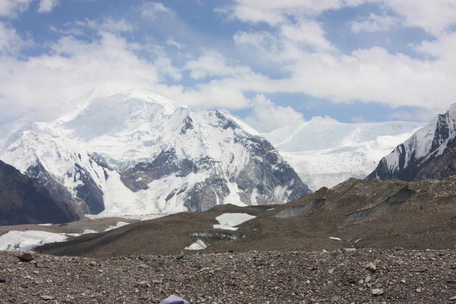
Walk up the Baltoro Glacier for a week and the valley finally opens at Concordia, where the Godwin-Austen Glacier joins from the north. Everyone turns left to look at K2. Turn right instead and you are looking up the Vigne Glacier at a wide, flat-topped, ice-armoured massif: Baltoro Kangri. The Balti and early European surveyors called it the Golden Throne for what the evening light does to it — a broad seat of snow with the Karakoram sun on it.
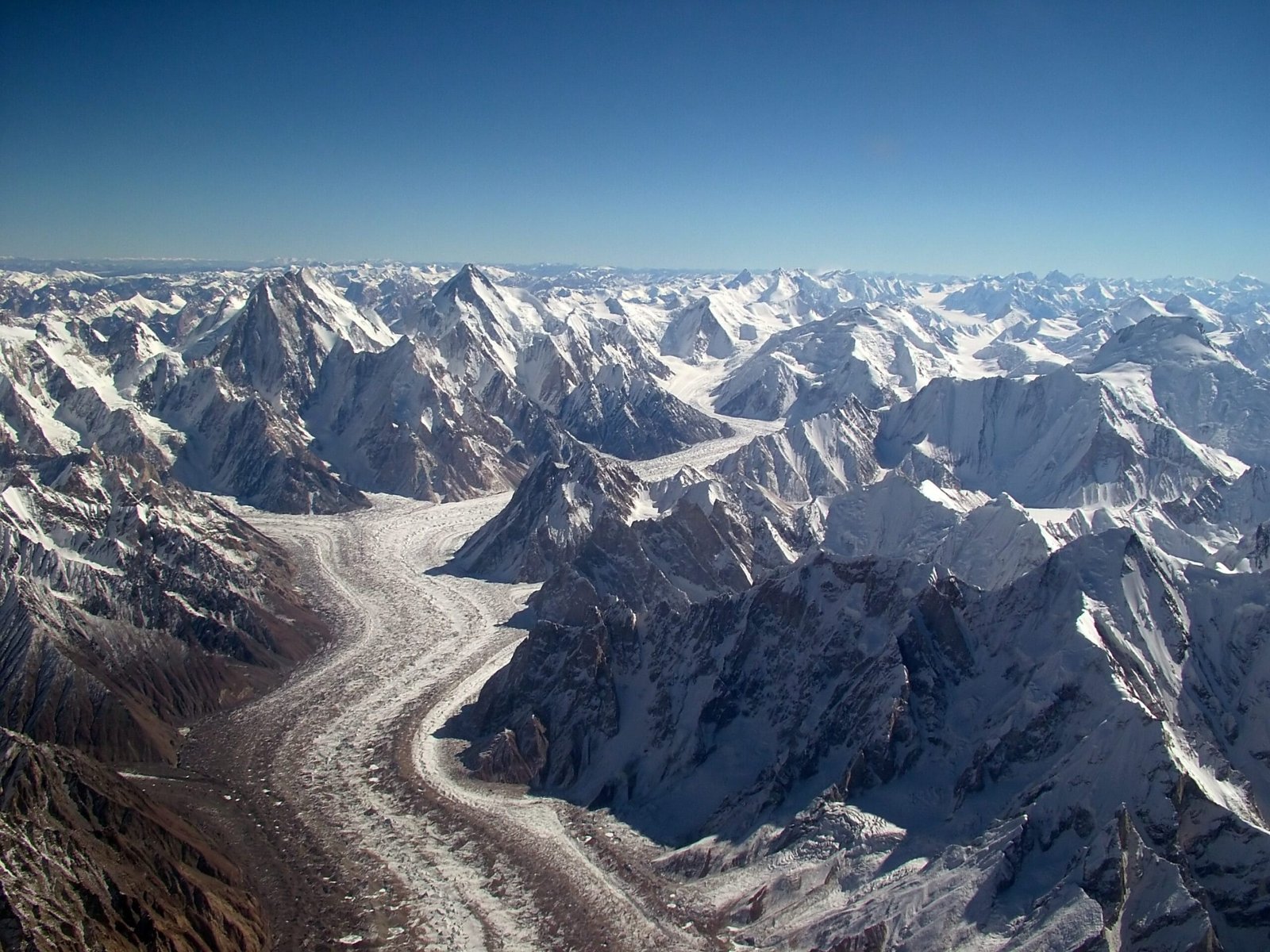
Geographically it anchors the head of the Baltoro. The glacier that runs the whole 60-odd kilometres down to Paiju draws its ice from under this mountain and its neighbours. To the north stand the Gasherbrums, including Gasherbrum IV and the 8,000ers Gasherbrum I and II. To the west is Chogolisa, the Bride Peak. Baltoro Kangri is the quiet one in that company, which is exactly why we like it.
The route, step by step
There is no shortcut. You walk the Baltoro like everyone else, then keep going where the trekkers turn around.
- Islamabad to Skardu — by air when the weather allows, otherwise overland. Build in buffer days either way (how to get to Skardu).
- Skardu — permit and briefing formalities, load check, porter arrangements.
- Skardu to Askole — 7–9 hours by jeep on the Shigar and Braldu road. Last village, last phone signal.
- Askole to Paiju — two walking days along the Braldu to the glacier snout.
- Paiju to Urdukas — onto the ice, past the Trango and Cathedral walls.
- Urdukas to Goro II to Concordia (4,600 m) — two days on the medial moraine.
- Concordia to base camp — turn up the Vigne Glacier. Base camp is usually placed on the Vigne at roughly 4,900–5,100 m (approximate, varies by team and conditions).
- Acclimatisation and high camps — a rotation cycle with two to three camps on the mountain, then a summit push in a settled weather window.
- Descent and walk out — back down the Baltoro to Askole; some teams exit via Gondogoro La to Hushe if conditions and the schedule allow.
The 1963 climb, and the view from the top
The first ascent came on 4 August 1963. A nine-member Japanese party from the Tokyo University Ski-Alpine Club, led by Seihei Kato, worked their way up from the Baltoro side and put men on the summit. It was a ski-mountaineering club, and that tells you something about the terrain: broad snow slopes and glacier shelves rather than the granite fangs of Trango.
From the summit plateau you are standing in the middle of the greatest concentration of high peaks outside the Everest region. K2 to the north. Broad Peak and the Gasherbrums along the ridge. Chogolisa across the Vigne. Masherbrum away to the south-west. It is the view people pay to see from Concordia, except you are 2,700 metres above it.
When to go
| Months | Conditions | Verdict |
|---|---|---|
| April–May | Cold, deep snow on the upper Baltoro, unsettled. Some ski-oriented teams prefer it. | Specialist only |
| June | Glacier consolidating, porter logistics running, cold nights. | Good for a long expedition start |
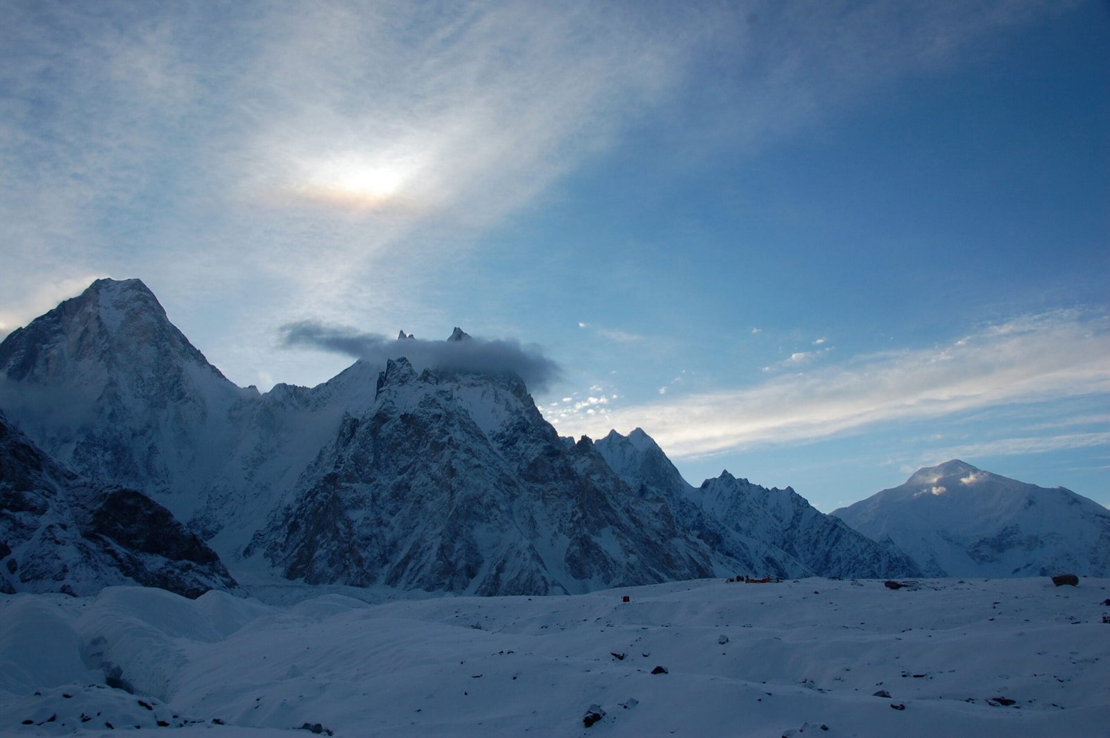
| July–August | The main Karakoram climbing season. Best chance of a settled summit window. | Best |
| September | Clearer air, colder, shorter days, thinner traffic on the Baltoro. | Good, for strong teams |
| October onwards | Winter closing in; porters and jeep access become unreliable. | Not recommended |
How hard is it, honestly
Hard. Not technically extreme by modern standards, but hard in the way the Karakoram is hard: sustained altitude, big crevassed glacier ground, avalanche-prone slopes after snowfall, and a seven- to eight-day walk between you and the nearest road. You need previous 6,000 m experience, competent rope and crevasse-rescue skills, and the fitness to carry loads at altitude on consecutive days.
Read our acclimatisation guide before you plan the schedule. Most failures on peaks like this are not falls; they are people arriving at base camp under-acclimatised and running out of time. And check what your Karakoram packing list is missing — on a 7,000er the margin is in your boots and your sleeping bag.
The honest hazards on Baltoro Kangri are crevasse falls on the Vigne and upper glacier shelves, and slab avalanche on the summit slopes after fresh snow. Weather can pin a team at base camp for a week. Every Karakoram Venture expedition carries a satellite phone in camp, and we run an actual evacuation plan with established helicopter-rescue contacts for the Baltoro region — not a phone number someone hopes still works. We will also turn a team around. Nobody is talked up a loaded slope on our watch.
Baltoro Kangri is a climbing objective, not an open-zone trek, so it needs a mountaineering permit and the associated formalities — a different process from simply walking to Concordia. You will also need the correct Pakistan visa: expeditions and treks require a Trekking & Mountaineering visa, not a standard tourist visa. Start both early. See our Pakistan visa guide for trekkers, and let us handle the permit paperwork from Skardu.
Getting there, and what it costs
Fly Islamabad to Skardu when the weather cooperates, or come overland with buffer days built in. From Skardu it is jeeps to Askole and then your own legs.
On price: we keep pricing personal rather than posting a number that goes stale the moment porter rates or permit fees move. Tell us your team size, your dates, and whether you want full board on the mountain or base-camp service only, and we will send you a real costing. Fair price, no corners cut — and we would rather lose a booking than quote you a figure that only works if we shave the safety budget.
Frequently asked questions
How high is Baltoro Kangri?
7,312 metres (23,990 ft). It stands at the head of the Baltoro Glacier, south of the Gasherbrums and east of Chogolisa.
Why is it called the Golden Throne?
The name describes its shape and its light — a broad, flat-topped snow massif that turns gold in low Karakoram sun. Baltoro Kangri is the local name; Golden Throne is the older European one.
Who climbed it first?
A nine-member Japanese expedition from the Tokyo University Ski-Alpine Club, led by Seihei Kato, made the first ascent on 4 August 1963.
How long does the expedition take?
Roughly 24–28 days door to door from Skardu, including the Baltoro approach, acclimatisation rotations, a weather window and the walk out. Weather can add days — build slack into your flights.
Do I need previous high-altitude experience?
Yes. This is a 7,000 m glaciated peak a week’s walk from the nearest road. Prior experience above 6,000 m, solid crevasse-rescue skills and real load-carrying fitness are the minimum. If you do not have that yet, start with a trekking peak or the K2 Base Camp trek and come back.
Plan it with the people who live here
We are a local Balti team in Skardu, not a broker who sells your booking on. Our guides grew up under these mountains, our logistics are ours, and the sat phone and rescue plan are on the trip because we put them there.
WhatsApp: +92 312 9921574 | Email: info@karakoramventure.com
Message us “Golden Throne” with your dates and team size and we will come back with a real plan.
Sources & attribution: altitude, location and first-ascent details cross-checked against Wikipedia, the Himalayan Journal (vol. 25) account of the 1963 ascent, American Alpine Club publications, SummitPost and PeakVisor; camp altitudes are approximate. Photographs: Black Zero (CC BY 2.0); Maria Ly (CC BY-SA 2.0); Guilhem Vellut (CC BY-SA 2.0) — all via Wikimedia Commons.