



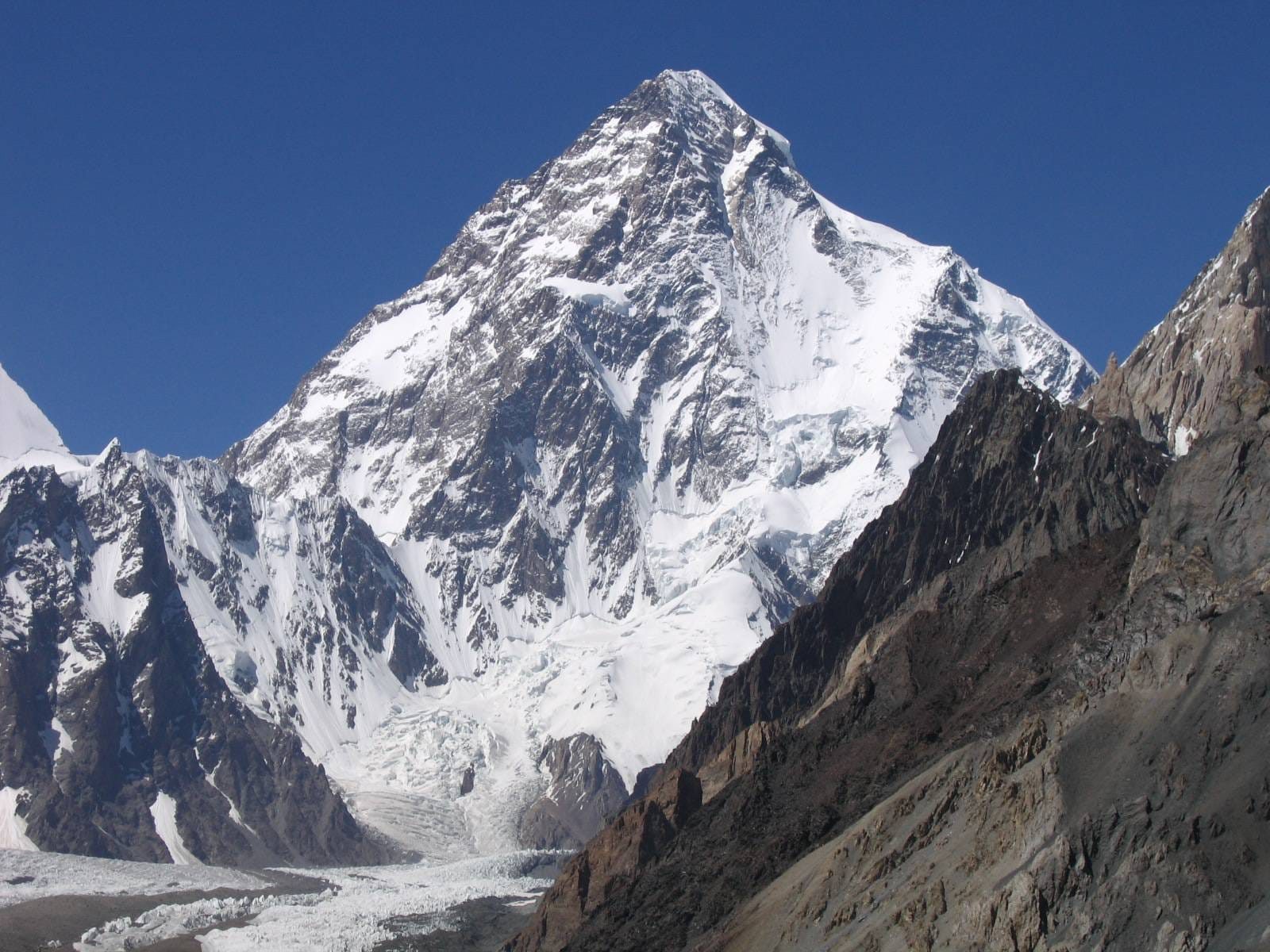
The Karakoram range is the most extreme concentration of high mountains on earth — and the most misunderstood. It is not the Himalaya, though the two shake hands across the Indus. Four of the planet’s fourteen 8,000-metre peaks stand here within one day’s walk of each other. More ice flows here than anywhere outside the poles. And yet most people know the name only from a highway. This guide explains where the Karakoram actually is, why geologists refuse to lump it in with its famous neighbour, and how a walker — not a climber — gets into its heart. We write it from Skardu, the town these mountains surround.
Where the Karakoram range is, precisely
The Karakoram runs roughly 500 kilometres across northern Pakistan into China and India, but its great peaks cluster tightly in Pakistan’s Gilgit-Baltistan. Draw a triangle between Gilgit, Skardu and the Khunjerab Pass on the Chinese border, and you have captured almost everything that matters: K2 and its three 8,000-metre neighbours, the Baltoro and Biafo glaciers, the Hispar and Batura ice systems, and the villages — Askole, Hushe, Shimshal — where every expedition on earth begins its walk. The range’s full geography spills across three borders and several disputed lines. Its beating heart, though, has one address, and one airport: Skardu.
Not the Himalaya: why the distinction matters
Guidebooks blur the two ranges; geology does not. The Indus valley draws the line — the Nanga Parbat massif on its south bank is Himalaya, and everything north of the river is Karakoram. The distinction shows everywhere you look. Being younger and still rising fast — driven by the same India-Asia collision — the Karakoram is simply steeper. Nowhere in the Himalaya do granite walls leap three vertical kilometres straight from a glacier the way the Trango Towers do above the Baltoro. Its rock is harder and its valleys narrower. Even the weather differs, because the monsoon that soaks Nepal mostly exhausts itself on the Himalayan wall. As a result, the Karakoram is drier, colder and ruled by westerly storms instead. Different birth, different shape, different sky.
The ice: rivers that happen to be frozen
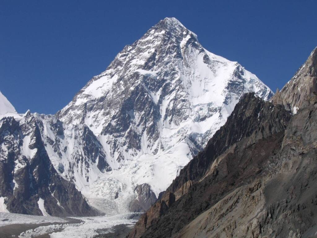
If one fact defines the Karakoram range, it is ice. The Baltoro runs 63 kilometres. Meanwhile, the Biafo and Hispar meet at Snow Lake to form a 100-kilometre glacier highway that medieval traders actually used. And the Batura flows 57 kilometres, almost to the Karakoram Highway’s tarmac. Outside the polar regions, no mountain range on earth carries ice on this scale — and unlike most of the world’s glaciers, some Karakoram giants have held their mass in recent decades, a scientific puzzle known as the Karakoram Anomaly. For travellers, the practical meaning is simple: Karakoram trekking is glacier trekking, wilder and lonelier than the teahouse Himalaya. For everyone else, the meaning is bigger — this ice feeds the Indus, which waters a fifth of humanity downstream.
The Karakoram range’s four eight-thousanders
The range’s crown is a statistical absurdity. Four 8,000-metre peaks — K2 (8,611 m), Gasherbrum I (8,080 m), Broad Peak (8,051 m) and Gasherbrum II (8,035 m) — stand within sight of a single campsite. That campsite is Concordia, the glacier junction our Concordia guide calls the throne room of the mountain gods; the sobering statistics of the mountain above it are laid out honestly in our K2 death rate analysis. Beyond the giants stands a deeper bench than any range on earth: the Trango Towers, Masherbrum — the original K1 — Rakaposhi rising six vertical kilometres above the Hunza road, and dozens of 7,000-metre peaks that see fewer ascents per decade than Everest sees per morning. Several have seen exactly one ascent. A few, none at all.
Roads and trails into the Karakoram range
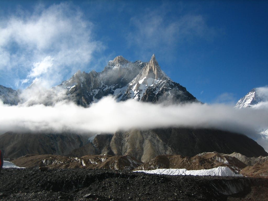
Two arteries open the range. The Karakoram Highway traces its western edge through Hunza — the world’s highest paved international road, twenty years in the building, and the easy way to watch 7,000-metre peaks from a car seat. The trails do the serious work. Chief among them, the Baltoro route to K2 Base Camp is the range’s classic walk; the Biafo-Hispar traverse is its wildest; and both feature in our ranking of the best treks in the world. Softer doors exist too — Hunza’s orchard villages, Skardu’s lakes, the Deosai plateau — which is why first-timers usually start with our Hunza-or-Skardu comparison. Every one of these is a walk or a drive. The Karakoram asks for fitness and respect, not ropes.
When to come, and with whom
This range keeps one honest season: mid-June to mid-September, when the passes clear, the jeep roads run and the weather settles into its summer rhythm. Shoulder weeks are quieter and colder; winter belongs to the ibex and a handful of elite alpinists. As for company — this is not a range for improvised logistics. Permits, checkpoints, glacier travel and genuine remoteness all argue for a local team, and ours has walked these valleys for generations. Start with the honest answer to the safety question, check the season guide, then browse every Karakoram trek and tour we run.
Conclusion: the greater range
The Himalaya has the fame and the single highest summit. Everything else belongs to the Karakoram range: the steepest walls, the longest glaciers, four giants around one camp, and trails where solitude is still the default setting. Once you can tell the two ranges apart, you already know which one is calling you. When you answer, come with the people who live here. Local hands, real safety, fair price.
Karakoram range: frequently asked questions
Where is the Karakoram range located?
Across northern Pakistan, with extensions into China and India. The Pakistani heartland — Gilgit-Baltistan — holds the range’s greatest peaks, including K2, all four of its 8000ers and all of its trekking access.
Is the Karakoram part of the Himalayas?
No. They are neighbouring but geologically distinct ranges, separated by the Indus river; the Nanga Parbat massif belongs to the Himalaya, everything north of the river to the Karakoram. The Karakoram is younger, steeper and far icier.
How many 8000m peaks are in the Karakoram?
Four of the world’s fourteen: K2 (8,611 m), Gasherbrum I (8,080 m), Broad Peak (8,051 m) and Gasherbrum II (8,035 m) — all standing within sight of one glacier junction at Concordia.
Why are the Karakoram’s glaciers so famous?
Because outside the polar regions, nothing matches them: the Baltoro, Biafo, Hispar and Batura each run roughly 50 to 63 kilometres. They feed the Indus and help water a fifth of humanity downstream.
Can regular trekkers visit the Karakoram?
Yes. The trekking routes — K2 Base Camp foremost — are demanding glacier walks, not climbs. A guided group, honest acclimatisation and a summer window are what they require.
What does ‘Karakoram’ mean?
It comes from Turkic words meaning ‘black gravel’ or ‘black rock’ — a caravan-route name that stuck. Locally, however, the Balti name for the high-peaks region translates closer to ‘the place of great ice’.

