



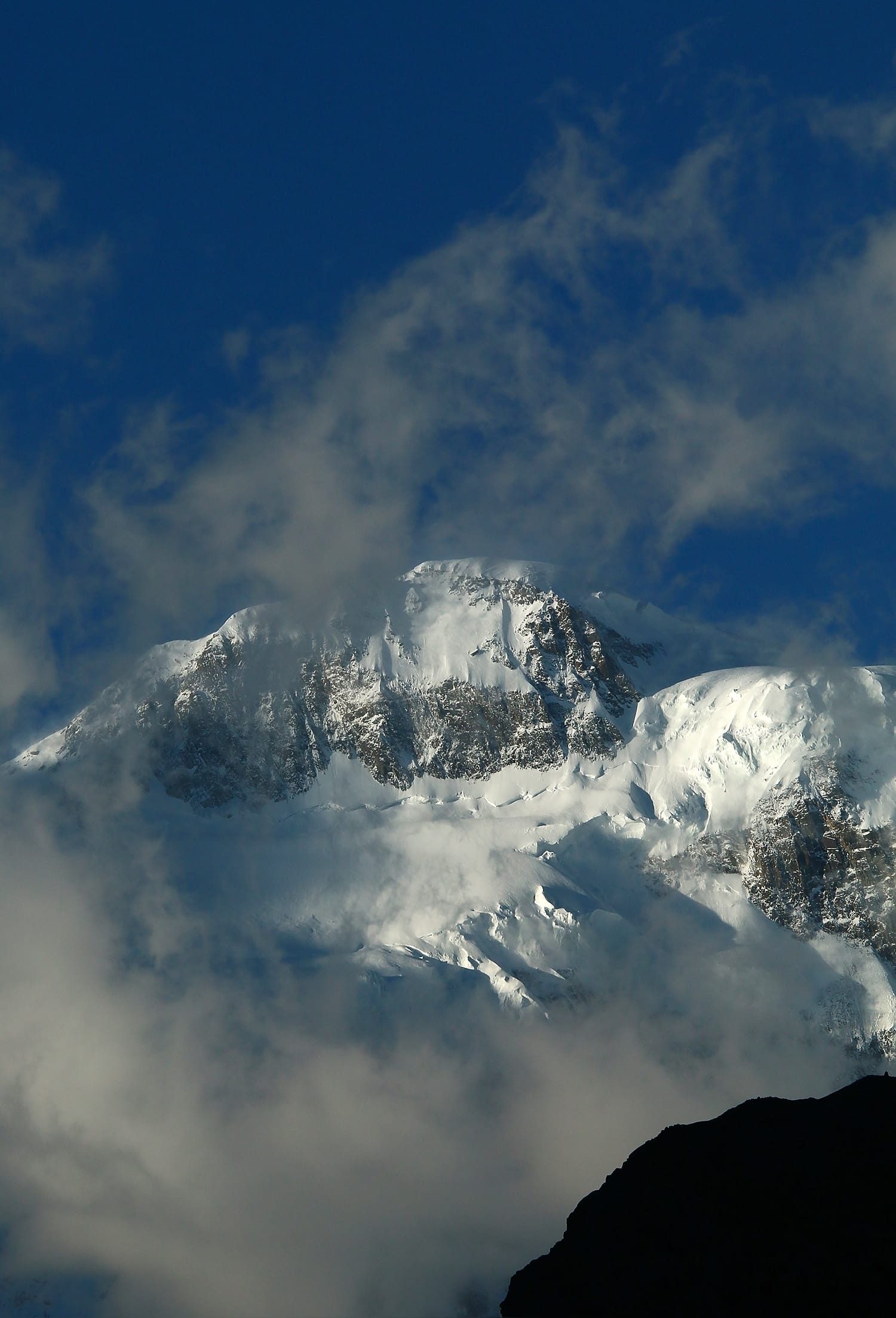
Passu Sar is a 7,478 m (24,534 ft) peak in the Batura Muztagh, the westernmost sub-range of the Karakoram, standing above Passu village in upper Hunza, Gilgit-Baltistan. It is the high point of the Passu massif and sits about 7 km east of Batura Sar (7,795 m) on the same main ridge. Expeditions run in the short Karakoram summer, roughly June to August, approaching on foot up the Batura Glacier from the Karakoram Highway. It is a technically serious, rarely-climbed 7,000er — not a first high-altitude objective.
We run trips out of Skardu and Gilgit with our own Balti and Wakhi staff, and we will be straight with you about this one: Passu Sar is not a mountain you book because you saw a photograph. It has been climbed a handful of times in half a century. There is no trade route, no fixed-line infrastructure, no queue. What there is: a long glacier approach, complex crevassed terrain, and a summit ridge that has turned back more parties than it has let through. If that is what you are looking for, read on. If you want your first big peak, read our Spantik guide instead — and we will tell you the same thing on WhatsApp.
Key Takeaways
- Height: 7,478 m (24,534 ft) — the 54th-highest mountain on earth, with a modest prominence of 647 m.
- Where: Batura Muztagh, Hunza District, Gilgit-Baltistan — above Passu village on the Karakoram Highway.
- Neighbours: Batura Sar (7,795 m) lies about 7 km west along the same ridge; the 57 km Batura Glacier drains the north side.
- First ascent: disputed. A 1978 Japanese–Pakistani ascent is reported; the American Alpine Journal records 7 August 1994 by Max Wallner, Dirk Naumann, Ralf Lehmann and Volker Wurnig — as a ski ascent and descent.
- Season: June to August for climbing; the approach valleys are walkable from late spring to autumn.
- Difficulty: serious. Glaciated, remote, and lightly travelled — previous 7,000 m experience expected.
Where Passu Sar is, and why it matters
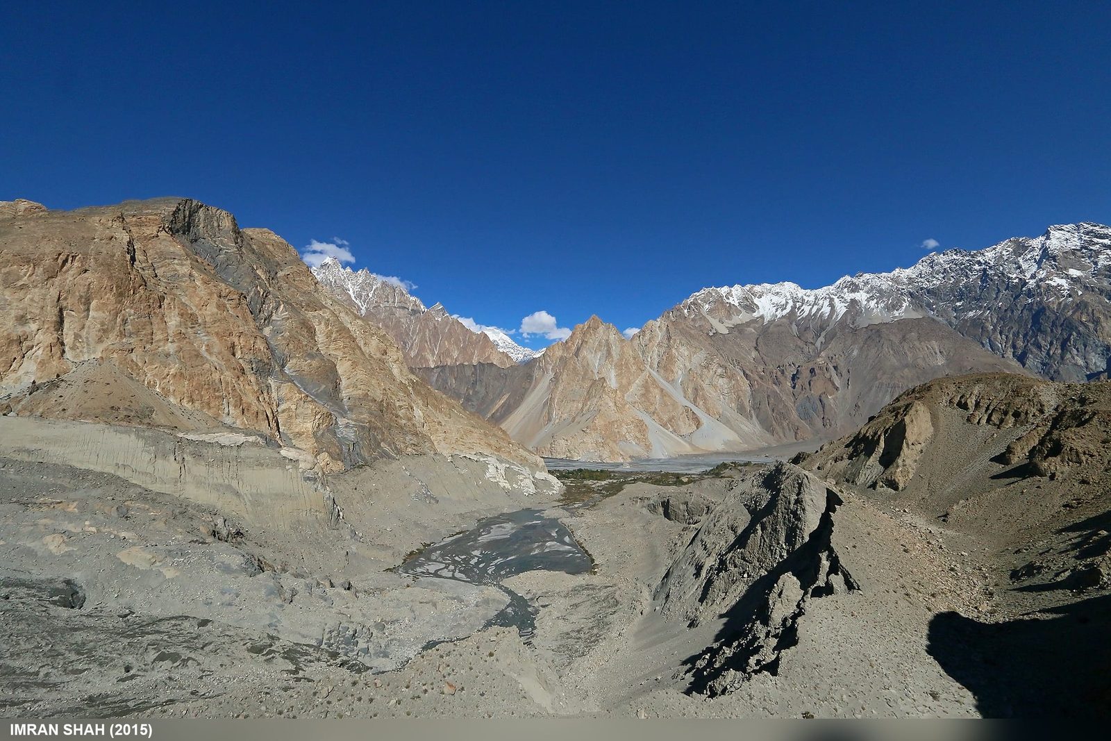
Drive north from Gilgit on the Karakoram Highway and the valley narrows past Gulmit. At Passu, the road runs beneath a wall of ice and rock that most travellers photograph without ever learning its name. The serrated spires beside the road are the Passu Cones (Tupopdan) — the ones on every Pakistan travel poster. Passu Sar is the peak behind and above them: bigger, quieter, and far harder to reach.
It anchors the eastern end of the Passu massif, which also carries Passu Diar (Passu East). Behind it, the Batura Glacier runs 57 km west — one of the longest glaciers outside the polar regions — separating the Passu and Batura groups from the Hunza valley proper. This is Wakhi country in Gojal, not Balti Baltistan, and we staff accordingly: local Wakhi high-altitude porters from Passu and Shimshal who know this ice, working alongside our Skardu logistics team.
The mountain matters because of what it is not. It is not on any commercial 7,000 m circuit. Its 647 m prominence means it reads as a high point on a long ridge rather than a freestanding pyramid — which is exactly why it has been overlooked while parties queued elsewhere. If you have read our guides to Batura Sar and Shispare Sar, Passu Sar is the third corner of that same rarely-visited triangle.
The peaks of the Batura Muztagh, by height
The route, step by step
There is no standard, waymarked line on Passu Sar. What follows is our indicative plan — the shape a modern attempt takes, not a published guidebook route. Camps move with conditions, and any honest operator will tell you the same.
- Islamabad to Gilgit or Skardu — fly, or drive the Karakoram Highway. See our KKH road guide for timings and buffer days.
- Gilgit to Passu village by road on the KKH, roughly 2,500 m. Rest day, permit checks, load-sharing with porters.
- Passu to the Batura Glacier snout — a short walking day onto the ice.
- Up the glacier to base camp, typically around 4,200–4,400 m, over two to three walking days depending on load and melt conditions.
- Acclimatisation rotations — carry, sleep high, drop back. Camp 1 near 5,300 m, Camp 2 near 6,200 m on the upper glacier and slopes.
- High camp near 6,800 m, then a long summit day on the ridge to 7,478 m and back down the same line.
Budget a full expedition window, not a tight one. Weather on the Batura side closes in fast, and unlike the Baltoro there is no stream of other teams to break trail for you. Read our acclimatisation guide before you commit to any rotation schedule.
A schematic elevation profile
A disputed first ascent
Passu Sar has an unusually murky record, and we would rather set it out honestly than pick the tidier version.
One account has the peak climbed in 1978 by a joint Japanese–Pakistani expedition — a trip that cost the life of the Japanese climber Toshio Takahashi, who fell into a crevasse on the lower glacier at around 5,800 m. The other, recorded in the American Alpine Journal, dates the first ascent to 7 August 1994, when the German party of Max Wallner, Dirk Naumann, Ralf Lehmann and Volker Wurnig reached the top — and, remarkably, skied it. Wallner filed the report under the name Pasu I. The AAJ also carries a 2002 note of an unsuccessful attempt.
Two things follow from that. First, the mountain has seen a genuinely tiny number of visitors. Second, you should distrust any operator page that states a single confident first-ascent date without acknowledging the disagreement — and, while we are at it, the peak is sometimes advertised as “Passu Peak, 7,284 m”. The 7,478 m figure is the one carried by the standard reference sources for Passu Sar. Ask us which summit a given itinerary actually means before you pay for it.
When to go
| Months | Conditions | Verdict |
|---|---|---|
| March–May | Snow low on the approach; glacier travel firmer, cold nights; valleys greening | Approach and reconnaissance only |
| June | Season opens; unsettled weather, deep snow high up | Early — possible with a long window |
| July–August | The main Karakoram climbing window; warmest, longest days, most stable spells | Best for a summit attempt |
| September | Cooling fast, shorter days, clear light; glacier travel improves as melt slows | Late — strong teams only |
| October–February | Deep winter; extreme cold and access problems | Not viable for a standard expedition |
If your dates are flexible, read our season-by-season guide to Gilgit-Baltistan before you book flights.
How hard is it, honestly
Hard. Not fashionably hard — actually hard, in the way that unfrequented mountains are.
Altitude. A 7,478 m summit means weeks of rotations and real exposure to altitude illness. We do not take clients onto this peak without prior success above 6,500 m, ideally on a 7,000er.
Terrain. The approach is glacier travel with crevasse risk from the outset — the 1978 fatality happened at 5,800 m on the lower ice, not near the top. Above base camp expect snow and mixed ground, roped movement throughout, and self-sufficiency in route-finding.
Fitness. You should be able to carry a heavy pack at altitude, day after day, and still make good decisions at the end of it. Trail-running fitness is not the same thing.
Psychology. This is the one people underestimate. There is no crowd, no rescue queue, no beaten trail. On a bad-weather week you will sit in a tent on the Batura with nobody else on the mountain. Some climbers love that. Others discover, expensively, that they do not.
Getting there, and what it costs
Two ways in. Fly Islamabad to Gilgit or Skardu — fast when the weather cooperates, cancelled when it does not, so build buffer days either side. Or drive the Karakoram Highway, which is longer, more reliable in cloud, and genuinely one of the great road journeys; Passu sits directly on it, so the road delivers you to the foot of the mountain.
On price: we keep pricing personal rather than posting a number that goes stale. An expedition of this kind depends on team size, duration, porter loads, permit royalty and how much support you want above base camp — quoting a headline figure would be dishonest. Tell us your dates, your experience and your group, and we will build the real number. Fair price, no corners cut on guides, food or safety.
Planning a wider trip? Pair it with the Passu Cones and Batura Glacier trek, the Shimshal Pass trek, or a look at Distaghil Sar across the Hispar Muztagh.
Frequently asked questions
How high is Passu Sar?
Passu Sar is 7,478 m (24,534 ft), making it the 54th-highest mountain in the world. Its prominence is 647 m, because it sits on the main ridge of the Batura Muztagh rather than standing alone. Note that some operator pages advertise a “Passu Peak” at 7,284 m — check which summit is actually meant before booking.
Who made the first ascent of Passu Sar?
It is disputed. One report credits a Japanese–Pakistani team in 1978, an expedition on which Toshio Takahashi died in a crevasse fall at about 5,800 m. The American Alpine Journal records the ascent of 7 August 1994 by Max Wallner, Dirk Naumann, Ralf Lehmann and Volker Wurnig, who climbed and skied the peak. We present both because the record genuinely does not settle it.
When is the climbing season?
Roughly June to August, with July and August offering the most stable weather in the Karakoram. September is possible for strong, self-sufficient teams. Outside that window, cold and access make a standard expedition unrealistic.
What experience do I need?
Previous success above 6,500 m, competent glacier travel and crevasse-rescue skills, and the fitness to carry heavy loads at altitude over several weeks. This is not a suitable first 7,000 m peak — Spantik is the sensible stepping stone.
Do I need a special permit or visa?
Yes. Passu Sar requires a mountaineering permit and royalty, arranged in advance, and you will need Pakistan’s Trekking & Mountaineering visa rather than a standard tourist visa. Allow several months. We handle the permit side for our clients.
Talk to the team who lives here
Tell us your dates, your climbing history and your group size, and we will tell you honestly whether Passu Sar is the right objective for you — and if it is not, which peak is.
WhatsApp: +92 312 9921574
Email: info@karakoramventure.com
You will be dealing with a local Balti and Wakhi team, not a broker. Local hands, real safety, fair price.
Sources & attribution: elevation, prominence, location and first-ascent records from Wikipedia and the American Alpine Journal (Wallner, “Pasu I, Ski Ascent and Descent”, AAJ 1995; Gildea, “Passu Sar, Attempt”, AAJ 2002); Batura Glacier length from Wikipedia. Camp heights are indicative, not surveyed. Photographs: Imran Shah (CC BY-SA 2.0) and Sultanalipassu (CC BY-SA 3.0), via Wikimedia Commons.

