



Momhil Sar is a roughly 7,414 m peak in the Hispar Muztagh, standing above the Momhil Glacier on the Shimshal side of Gojal, Gilgit-Baltistan. It was first climbed on 29 June 1964 by an Austrian team and has seen almost no traffic since. A full expedition runs about 30 to 40 days from Islamabad, with a climbing window of roughly late June to August, and it is a serious, technical, self-reliant undertaking — not a first 7,000er.
We run our trips out of Skardu and Gilgit with our own Balti and Wakhi team, and we will be straight with you about this one: Momhil Sar is not a product you book off a shelf. It is a genuine exploratory objective. Very few people have stood on it. There is no fixed-rope highway, no queue, no rescue helicopter idling nearby. What we can give you is honest logistics, a local team that knows the Shimshal approaches, a sat phone in camp and a rescue plan that actually exists.
Key takeaways
- Height: commonly listed as 7,414 m (24,324 ft); older accounts give about 7,343 m (24,090 ft). Treat both as approximate.
- Range & location: Hispar Muztagh, Karakoram — Shimshal Valley, Gojal, Gilgit-Baltistan, Pakistan.
- Parent peak: Trivor (7,577 m), a few kilometres to the south-east. Prominence about 980 m.
- First ascent: 29 June 1964, Austrian Alpine Association (Styrian High-touring Section), led by Hanns Schell.
- Season: roughly late June to August. Expect 30–40 days door to door.
- Difficulty: serious. Glacier travel, steep snow and ice, real objective hazard, minimal rescue infrastructure.
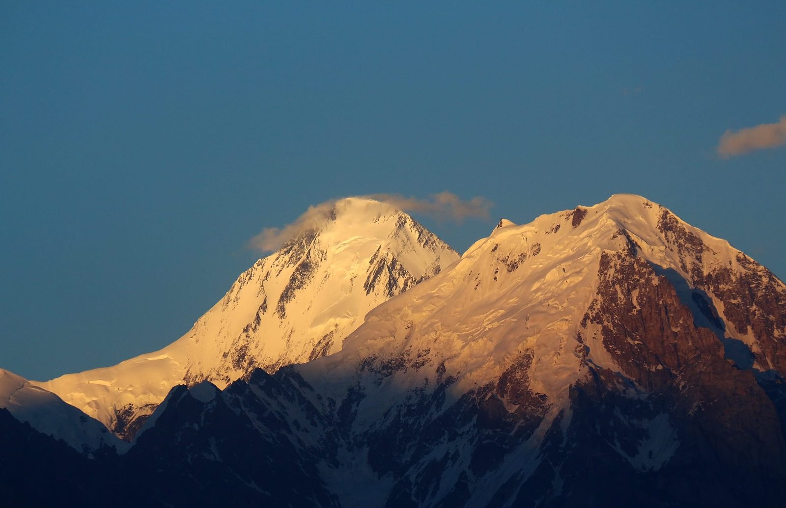
Where Momhil Sar is, and why almost nobody goes there
Draw a line north-west from Trivor and you land on Momhil Sar. It sits in the Hispar Muztagh, the sub-range that also carries Distaghil Sar (7,885 m), Khunyang Chhish (7,852 m) and Kanjut Sar (7,760 m). In Wakhi the name is Mumhail Sar — roughly, the mountain above Grandmother’s cattle pen. That tells you something: this is a working landscape, named by the herders of Shimshal long before any climber wrote it into a journal.
The reason it is empty is simple. It is ranked 64th in the world by height, which puts it below the marketing line that sells expeditions. It has no 8,000 m label, no famous face, no film. The approach is long, the glacier is broken, and the summit is guarded by ground that will not tolerate a casual attempt. Climbers who want a 7,000er with support and a known route go to Spantik. Momhil Sar is what you choose when you want to be somewhere nobody else is.
The 1964 first ascent — and how little has happened since
A group from the Styrian High-touring Section of the Austrian Alpine Association, led by Hanns Schell, reached base camp on 15 May 1964. They first tried the south-east ridge and were turned back. Days later they returned to Camp 3, crossed the south-east wall, and pushed on to the south ridge. Rudolf Pischinger, Hanns Schell, Horst Schindelbacher, Leo Schlömmer and Rudolf Widerhofer reached the top on 29 June 1964 — the summit day running around twenty-two hours of continuous climbing.
That is the story, and it is nearly the whole story. Compare it with Trivor next door, which has itself only been climbed a handful of times. In this corner of the Karakoram, a mountain can go decades without a single boot on it.
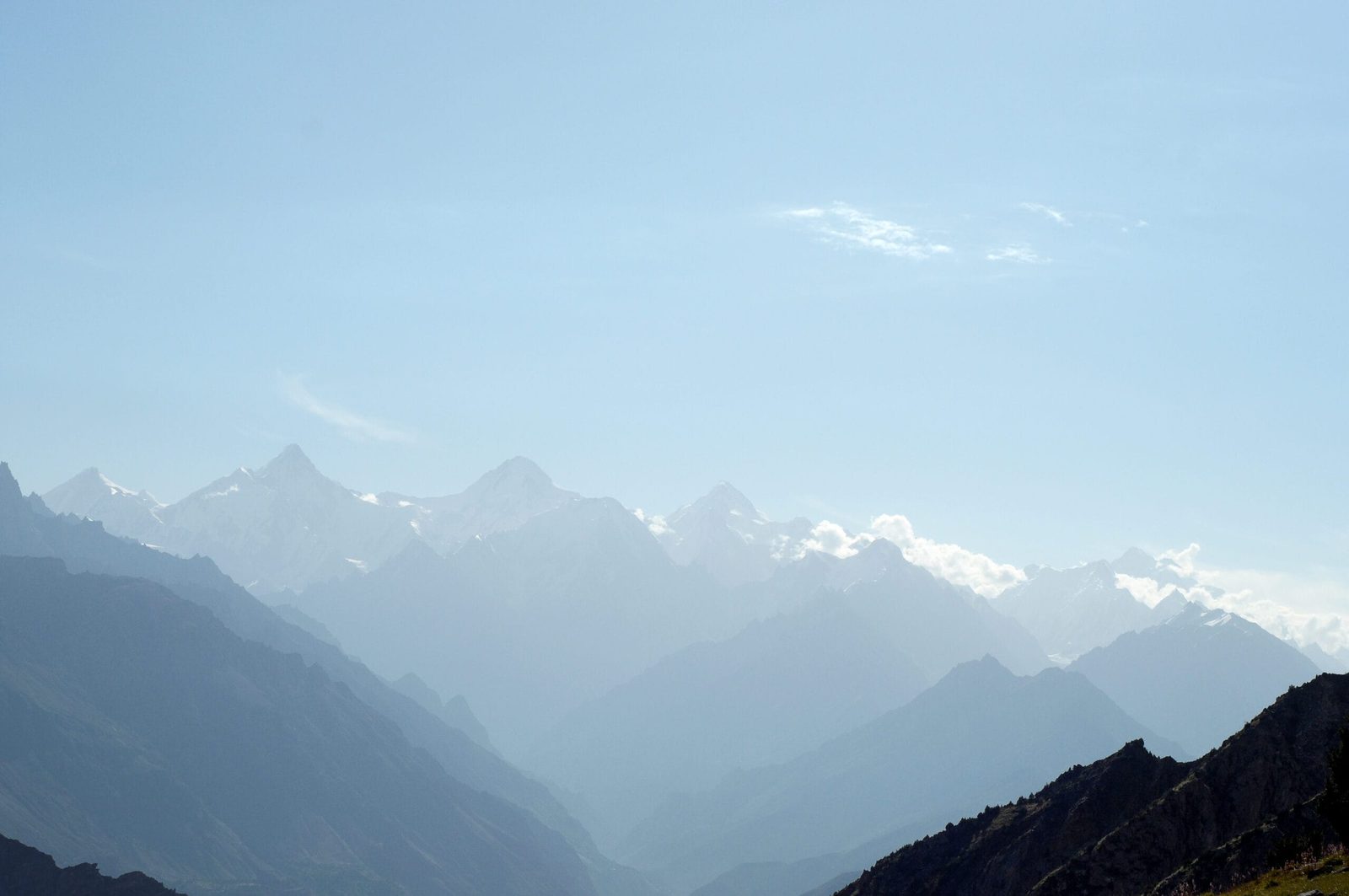
How the expedition runs, step by step
This is the outline we plan around. Exact camp placement is decided on the ground by the climbing team and the conditions of the year — anyone who hands you a fixed camp-by-camp schedule for a mountain this rarely climbed is guessing.
- Days 1–2 — Islamabad. Arrival, briefing, permit and liaison-officer formalities, final gear check.
- Days 3–5 — Islamabad to Gilgit and Passu. By air to Gilgit when the weather allows, otherwise overland on the Karakoram Highway. Build in buffer days either way.
- Days 6–7 — Passu to Shimshal. Up the Shimshal jeep road, a route the community itself built and finished in 2003, to Shimshal village at roughly 3,100 m. Rest, hire porters, load check.
- Days 8–11 — approach to base camp. Up towards the Momhil Glacier with porters and yaks. Base camp is established on moraine below the glacier.
- Days 12–16 — acclimatisation rotations. Load carries to an advanced camp, sleeping high and dropping back. Read our acclimatisation guide before you come; this is where most attempts are quietly won or lost.
- Days 17–30 — the climb. Three high camps, fixed line on the steep sections, and a long summit push from the top camp. Weather windows here are short.
- Days 31–36 — clear the mountain and return. Strip camps, carry everything out, back to Shimshal, Gilgit and Islamabad.
The neighbours: what stands around you
From the Momhil Glacier you are surrounded by the westernmost giants of the Hispar Muztagh. Height for height, here is the company Momhil Sar keeps.
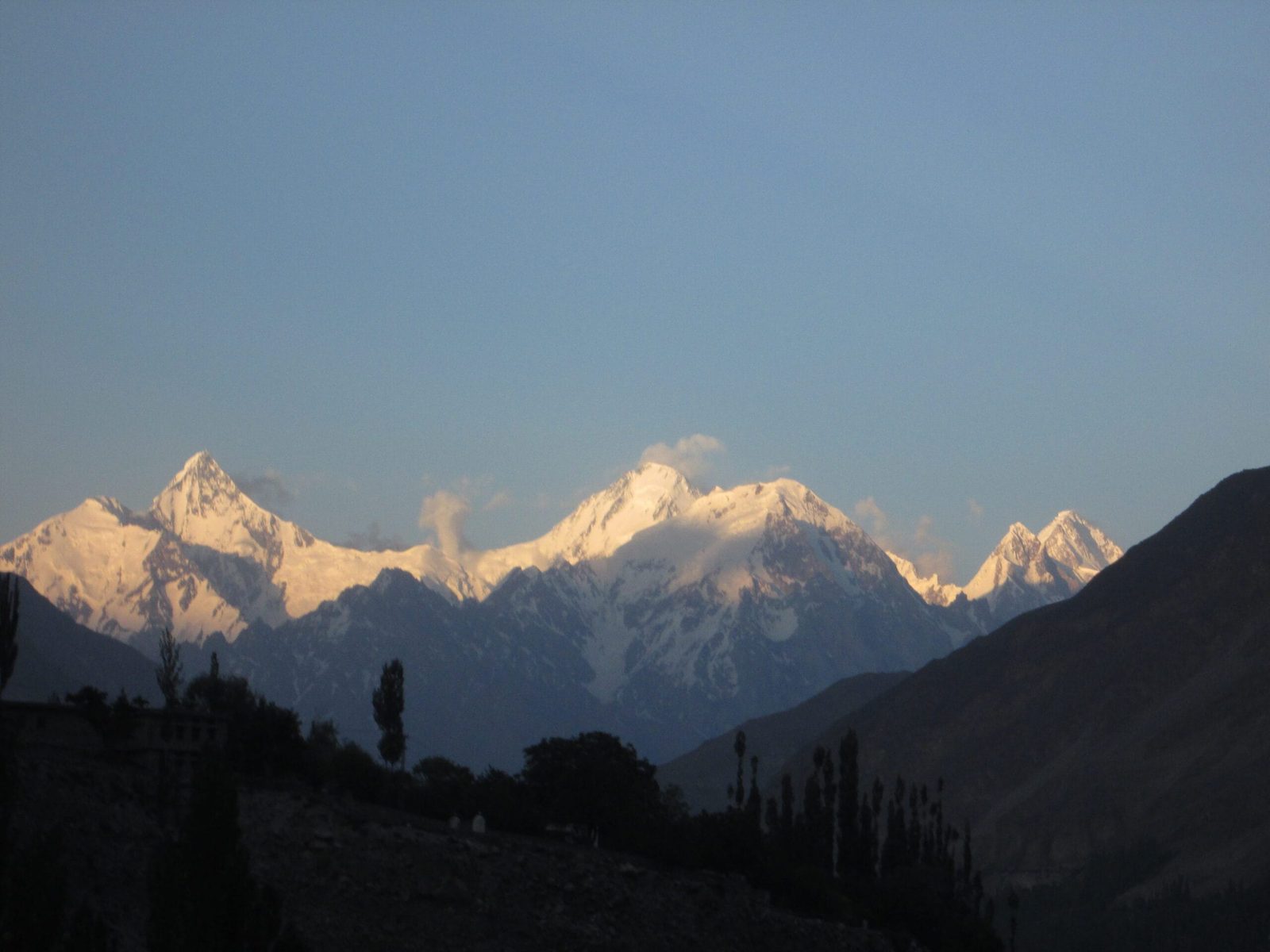
The shape of the climb
Roughly four vertical kilometres separate Shimshal village from the summit. Here is that gain drawn out, so you can see where the work sits.
When to go
| Months | Conditions | Verdict |
|---|---|---|
| March–May | Deep snow on the approach, glacier bridges unreliable, cold nights, road access to Shimshal can still be affected. | Too early for a summit attempt. |
| Late June–July | Approach clear, glacier travel workable, longest days. Warm afternoons increase rockfall and serac risk. | The main window. |
| August | Settled spells still possible, colder and more stable high up, shorter days. | Good, with a tighter margin. |
| September onward | Cold arrives fast, weather windows shorten, porter availability drops. | Too late for the summit; fine for approach trekking. |
If you are still choosing your year and month across the whole region, our season-by-season guide to Gilgit-Baltistan lays it out.
How hard is it, honestly
Hard. Momhil Sar asks for prior 7,000 m experience, confident movement on steep snow and ice, competence with crevasse rescue, and the patience to sit in a tent for a week while it snows. You should be able to carry a heavy load at altitude, day after day, and still make good decisions.
The terrain is the honest problem: a broken approach glacier, steep snow and ice above the high camps, and a long summit day with no easy retreat once you commit. Add the fact that the mountain is climbed so rarely that current condition reports simply do not exist. You will be reading the ground yourself.
If that description makes you hesitate, it should. There is no shame in building towards it — a Spantik season or the Snow Lake and Hispar La traverse will teach you more about yourself than a failed attempt here.
Getting there, and what it costs
Islamabad to Gilgit by air is the fast option and weather-dependent; the overland run up the Karakoram Highway is longer but reliable, and you should budget buffer days whichever you choose. From Gilgit it is the KKH north to Passu, then the Shimshal road. Shimshal itself is the last village, the staging point, and the source of the porters and high-altitude workers you will depend on. The same valley is the start of the Shimshal Pass trek, if you want to see the country before you commit to a climb here.
On price: we keep pricing personal rather than posting a number that goes stale. A rarely climbed 7,000er is costed individually — permit and liaison-officer fees, team size, porter and yak loads, days on the hill, and the safety kit we will not reduce. Tell us your dates and your team, and we will build the number honestly. Fair price, no corners cut. Local hands, real safety.
Frequently asked questions
How high is Momhil Sar?
It is most commonly listed at 7,414 m (24,324 ft), which makes it the 64th highest mountain in the world. Older expedition accounts give about 7,343 m (24,090 ft). Sources disagree, so treat the figure as approximate — both numbers are in circulation.
Has Momhil Sar been climbed many times?
No. The first ascent was on 29 June 1964 by an Austrian team led by Hanns Schell, and the mountain has seen very little activity since. It remains one of the quietest 7,000 m peaks in the Karakoram.
Where does the expedition start?
Shimshal village in Gojal, Gilgit-Baltistan, at roughly 3,100 m, reached from the Karakoram Highway at Passu by the Shimshal jeep road. Base camp is established towards the Momhil Glacier.
What experience do I need?
Prior 7,000 m experience, solid glacier travel and crevasse-rescue skills, confidence on steep snow and ice, and the fitness to carry loads at altitude over several weeks. This is not a suitable first high-altitude expedition.
When is the climbing season?
Roughly late June to August, with the most reliable spell in July. Expect 30 to 40 days from arrival in Islamabad to departure, including weather and buffer days.
Talk to the team that actually runs it
If Momhil Sar is on your list for 2027 or 2027, message us with your dates, your team and your climbing history and we will tell you honestly whether it fits — and what it would take.
WhatsApp: +92 312 9921574 · Email: info@karakoramventure.com
You will be talking to our own local Balti team in Skardu, not a broker passing you down the line.
Sources & attribution: elevation, prominence, location and first-ascent details from Wikipedia (Momhil Sar), Peakbagger, the American Alpine Journal (1965) and the Himalayan Journal (1966). Photographs: Imran Shah — CC BY-SA 2.0; Irfan karim — CC BY-SA 4.0; Mazharkk — CC BY-SA 3.0; all via Wikimedia Commons. Heights vary between sources and are given as approximate.

