



Shani Peak, also called Khaltar, stands at roughly 5,887 m above the Naltar Valley in Gilgit District, Gilgit-Baltistan. It is a genuine glaciated alpine summit rather than a walking peak: base camp sits at about 3,750 m below the east side, and the normal line goes up a glacier under the north face onto the west ridge. Most parties allow 10 to 14 days from Gilgit, and the season runs roughly June to September. Expect real snow and ice work, rope, crampons and an ice axe used properly.
We run this out of Skardu and Gilgit with our own team, and we will be straight with you: Naltar is one of the easiest valleys in Gilgit-Baltistan to reach, and Shani is one of the harder things you can do once you get there. Trekkers come for the lakes and the pine forest. Climbers come for the north face and the ridges above the Shani Glacier. Those are two very different trips, and it matters which one you are booking.
Key Takeaways
- Height: about 5,887 m. Sources differ: the 1986 first-ascent report gave 5,800 m, some databases list about 5,907 m. Treat every figure here as approximate.
- Where: south of Naltar Pass, Gilgit District, western Karakoram, roughly 40 km northwest of Gilgit by jeep.
- First ascent: 14 August 1986, Roger Everett and Guy Muhlemann, a Scottish expedition, via a glacier below the north face to the west ridge.
- Base camp: about 3,750 m, below the east side of the mountain, fed by the Shani Glacier.
- Difficulty: mountaineering, not trekking. Glacier travel, crevasse rescue and steep snow are the minimum.
- Season: roughly June to September; the valley itself is a ski area in winter.
Where Shani Peak is, and why Naltar is not like the Baltoro
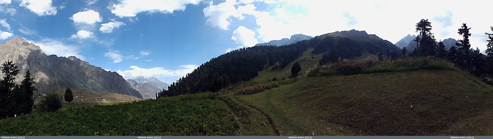
Naltar runs northwest off the Gilgit valley. You leave the Karakoram Highway near Nomal and take a rough jeep track up beside the Naltar River to Naltar Bala, a village at around 2,900 m sitting in pine forest. It is about 40 km from Gilgit and the last part is slow. That is the whole approach. No week of glacier walking, no Askole, no seven river crossings.
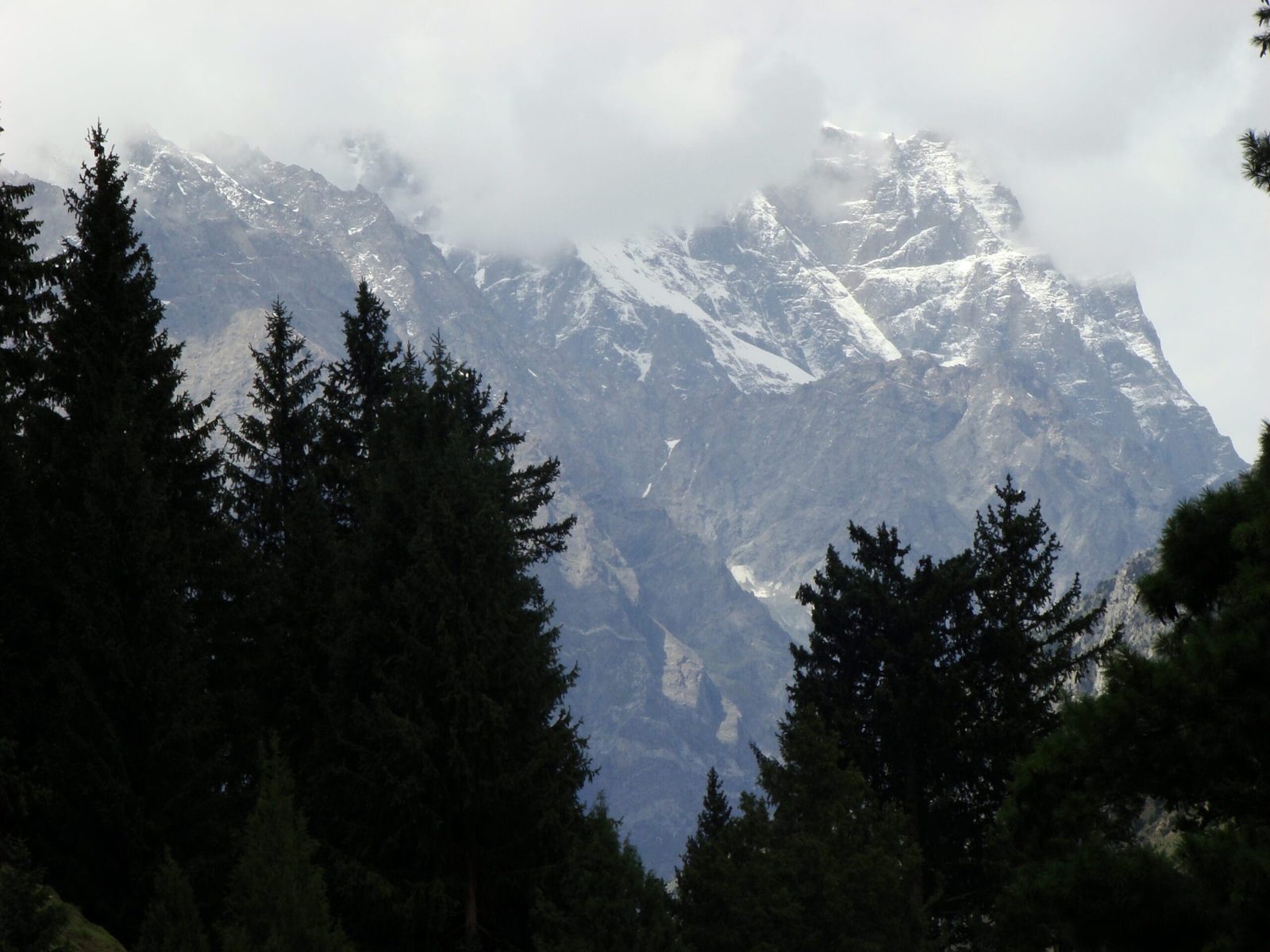
Shani sits south of Naltar Pass, west of Snow Dome (about 5,029 m) and northwest of Mehrbani Peak (about 5,639 m). Its meltwater runs east down the Shani Glacier into the valley. Because the road comes so close, Shani is one of the few Karakoram peaks where you can be at base camp within a couple of days of landing in Gilgit. That is the appeal, and it is also the trap: the short approach gives you almost no natural acclimatisation, so you have to build it in deliberately. Read our acclimatisation guide before you plan the days.
The route: base camp, the glacier, the west ridge
The line Everett and Muhlemann took in 1986 is still the sensible one. It climbs a glacier below the north face to gain the west ridge, then follows the ridge to the summit. They also noted it would serve as a descent for anyone attempting the harder lines on the north or south sides, which tells you what the mountain really is: an easy-ish way up a peak with serious faces on either flank.
A workable 12-day plan from Gilgit looks like this. Days move with weather; nobody should sell you a fixed summit date.
- Day 1: Gilgit (about 1,500 m). Permits, kit check, food buying.
- Day 2: Jeep to Naltar Bala (about 2,900 m). Short walk in the afternoon.
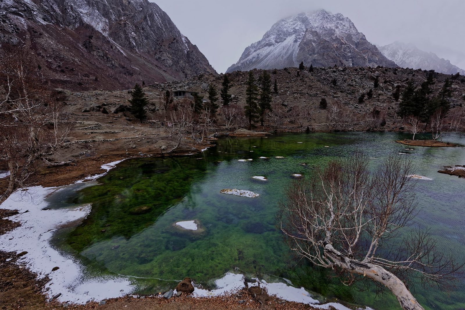
- Day 3: Acclimatisation day to the Naltar lakes and back. Easy, deliberate, non-negotiable.
- Day 4: Walk in towards the Shani Glacier; camp on the way.
- Day 5: Establish base camp, about 3,750 m below the east side.
- Day 6: Rest, glacier skills refresh, crevasse rescue practice.
- Day 7: Carry to high camp on the glacier, sleep low.
- Day 8: Move to high camp.
- Day 9: Summit attempt via the west ridge; long day, alpine start.
- Days 10 to 11: Contingency for weather. You will probably use at least one.
- Day 12: Strip camp, walk out, jeep to Gilgit.
1986, and the quiet history of a small peak
Shani was climbed late for its size. The first ascent came on 14 August 1986, when Guy Muhlemann and Roger Everett of a Scottish expedition reached the top from a base camp at 3,750 m. Five days later, on 19 August, Everett and Muhlemann joined Dairena Gaffney and Sally Macintyre to climb Sentinel Peak, about 5,260 m, at the head of the Naltar valley. A British Shani expedition followed in 1989.
That is nearly the whole public record, and it is worth saying plainly. This is not a mountain with fifty routes and a guidebook. If you climb something new on the north or south face here, it may well be new. If you want a peak with a well-trodden normal route and a queue on it, look at Spantik or Diran instead.
When to go
| Months | Conditions | Verdict |
|---|---|---|
| Dec to Mar | Deep snow, valley in ski season, high avalanche hazard | Not for climbing. Fine for skiing in the valley. |
| Apr to May | Snowpack still consolidating, cold, wet approach | Possible for ski mountaineering; heavy for a foot ascent. |
| Jun to Jul | Warming, good snow high up, longer days | Best window for most parties. |
| Aug | Warm, more rockfall and softer snow low down; the 1986 ascent was mid-August | Good, with early starts. |
| Sep | Cooling, clearer, shorter days | Good, and quiet. |
| Oct to Nov | Cold, first winter snows, short weather windows | Marginal. Not recommended. |
For the wider picture across the region, see our season-by-season guide to Gilgit-Baltistan.
How hard it is, honestly
Shani is not a trekking peak with a fancy name. You need to move safely on a glacier roped up, hold a slip on snow, place and use an axe and crampons without thinking about it, and run a crevasse rescue with a small team. Steep snow and mixed ground on the ridge are normal. Altitude at 5,887 m is manageable but not trivial, especially with such a short approach.
Fitness: you should be able to carry 15 to 18 kg for six hours on rough ground, several days in a row, and then get up at one in the morning and do a fourteen-hour day. If you have done an alpine 4,000er on your own rope, you are in the right territory. If your biggest day is a base camp trek, this is a step up, not a stretch goal. Build the base first on something like the Rush Lake trek or the Rakaposhi base camp trek.
Safety: the real risk here is the glacier and the weather window
Crevasses on the Shani Glacier and avalanche loading on the approach slopes are the hazards that actually hurt people on peaks like this, not the summit ridge. Naltar is close to Gilgit, which helps, but close to a road is not the same as close to a hospital. Every Karakoram Venture expedition carries a satellite phone in camp, we hold established helicopter-rescue contacts for the region, and we require proof of insurance that covers helicopter evacuation and high-altitude climbing before you fly. If the snowpack or the forecast says no, we turn around. See our insurance guide for what your policy actually needs to say.
Permits and visa
Trekking in Naltar itself is an open-zone activity and straightforward. Climbing Shani is mountaineering, and mountaineering in Pakistan is governed by a separate permit regime with fees that vary by peak height and by year. Rules change, so we confirm the current requirement for your dates rather than quoting a number that goes stale. Separately, you need the correct Pakistan visa: a Trekking and Mountaineering visa, not a plain tourist visa. Start with our Pakistan visa guide for trekkers, then message us and we will handle the paperwork on this end.
Getting there, and what it costs
Fly Islamabad to Gilgit, or Islamabad to Skardu and drive across, or come up the Karakoram Highway by road if you have the days and want the drive. Flights are fast and weather-dependent, so build a buffer day at each end. From Gilgit it is a jeep to Naltar Bala and you are almost at the mountain. If you want the softer version of this valley first, our Naltar Valley and Bashkiri lakes guide covers the jeep safari and the lakes.
On price: we keep pricing personal rather than posting a number that goes stale. What it costs depends on team size, how many days of contingency you want, the current permit position and whether you need a full-board expedition or just logistics and a local climbing guide. Message us with your dates and we will quote it properly. Fair price, no corners cut on guides, food or safety kit.
Pack for a snow peak, not a trek. Our Karakoram gear list is the starting point; add a harness, axe, crampons, helmet and glacier kit on top.
Frequently asked questions
How high is Shani Peak exactly?
Roughly 5,887 m. Sources disagree: the 1986 first-ascent account in the American Alpine Journal recorded 5,800 m, while some peak databases list around 5,907 m. We use about 5,887 m and treat it as approximate. Nobody has resurveyed it recently.
Can I trek to Shani Peak without climbing it?
Yes. You can walk up the Naltar Valley towards the Shani Glacier and camp with a clear view of the mountain without ever putting on crampons. That is a good four to six day trip and far more people should do it. It is a completely different booking from an ascent.
Who made the first ascent of Shani Peak?
Roger Everett and Guy Muhlemann, members of a Scottish expedition, on 14 August 1986. They climbed a glacier below the north face to reach the west ridge, from a base camp at about 3,750 m on the east side.
Do I need previous mountaineering experience?
Yes. Glacier travel, crevasse rescue, and confident use of axe and crampons on steep snow are the minimum. This is not a first mountain. If you have not climbed on a rope before, do a trek with us this year and come back for Shani.
How many days should I allow?
Plan 10 to 14 days from Gilgit, including at least two contingency days for weather. Shorter than that and you are either skipping acclimatisation or gambling on a single summit window. Both are bad ideas.
Talk to the people who actually go
Send us your dates and your climbing background and we will tell you honestly whether Shani is the right peak for you this year, or whether something else in Naltar or Nagar fits better.
WhatsApp: +92 312 9921574 | Email: info@karakoramventure.com
You get a local Balti team, not a broker. Local hands, real safety, fair price.
Sources and attribution: elevation and geography from Wikipedia (Shani Peak, Naltar Pass, Shani Glacier); first-ascent details from the American Alpine Journal 1987 report by Roger D. Everett; 1989 British Shani Expedition report, Mount Everest Foundation. Figures marked approximate where sources disagree. Photographs: Faisal Rafiq (CC BY-SA 4.0), Imran Shah (CC BY-SA 2.0) and Ijazrafi (CC BY-SA 4.0), all via Wikimedia Commons. Diagrams are schematic and drawn by Karakoram Venture.

