



Lupghar Sar is a 7,200 m peak in the Shimshal valley of Gojal, upper Hunza, at the western end of the Karakoram’s Hispar Muztagh. It is the 108th highest mountain on earth and one of the least-visited seven-thousanders in Pakistan — the west summit (7,157 m) has seen only a handful of ascents since 1979, and in 2018 Hansjörg Auer soloed a new line on its west face in a single push. Expeditions run June to August, take roughly four to five weeks door to door, and are technical alpine climbing on notoriously loose rock, not a trekking peak.
We run this out of Gilgit-Baltistan with our own team, and we’ll be straight with you: Lupghar Sar is not a mountain we sell to people who want a photograph of themselves at altitude. It is remote, the rock is bad, the approach glacier is broken, and rescue is a long way off. If that is what you came for, we will put a proper expedition around you. If it is not, we will tell you so and point you at something better suited.
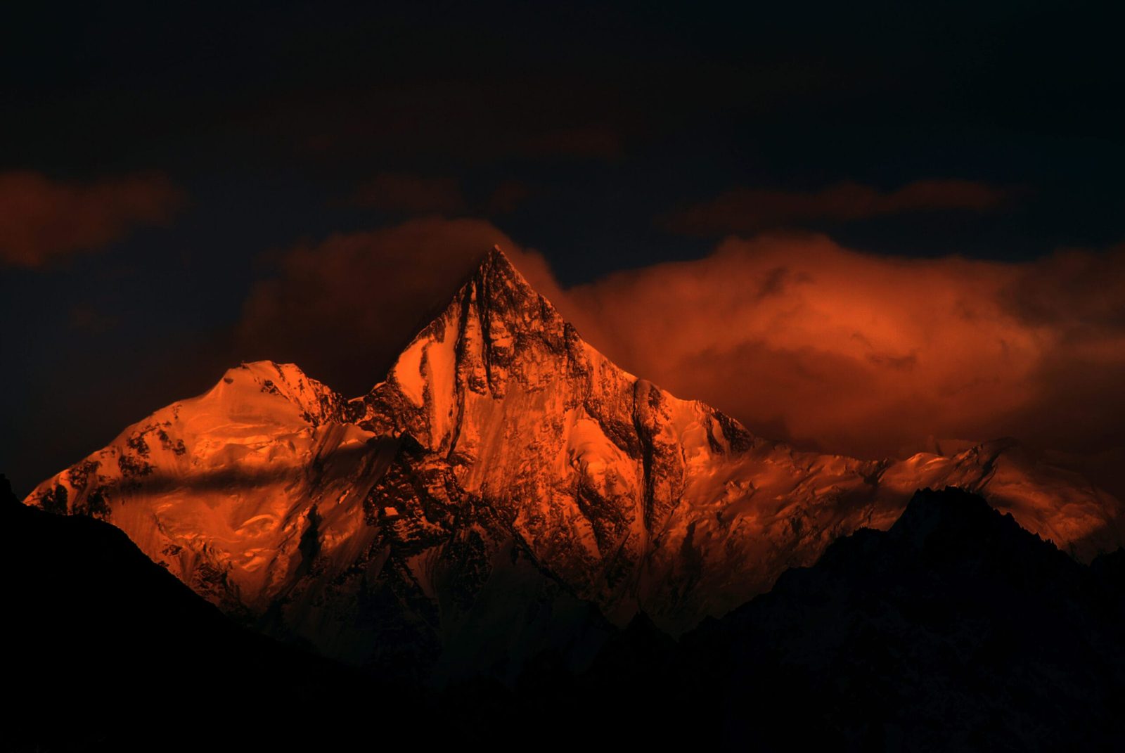
Key Takeaways
- Altitude: 7,200 m main (central) summit; Lupghar Sar West 7,157 m. Figures are the commonly quoted ones and should be treated as approximate.
- Where: Shimshal valley, Gojal, upper Hunza — western Hispar Muztagh, in the Momhil Sar cluster.
- Name: from Wakhi, roughly “top of the big rock”.
- First ascent: Lupghar Sar West, 1979, by German brothers Hans and Sepp Gloggner via the southwest ridge.
- Best known modern ascent: Hansjörg Auer’s solo new route on the west face, 7 July 2018 — Piolets d’Or 2019.
- Season: June to August. Access via the Karakoram Highway to Passu, then the Shimshal jeep road.
Where Lupghar Sar is, and why it matters
Drive north on the Karakoram Highway past Hunza and the skyline on your right stops being a range and starts being a wall. Four of those summits are seven-thousanders of the Hispar Muztagh: Distaghil Sar at 7,885 m, Khunyang Chhish at 7,852 m, Trivor at 7,577 m and Momhil Sar at 7,414 m. Lupghar Sar is the westernmost of that group, and the one nobody names.
It is not a single summit. Lupghar Sar is a long, high ridge carrying three tops — West, Central and East. The central summit is the one always quoted as the highest at 7,200 m, though climbers who have photographed the ridge have argued the east top may in fact be higher. That uncertainty tells you most of what you need to know about how little traffic this mountain gets.
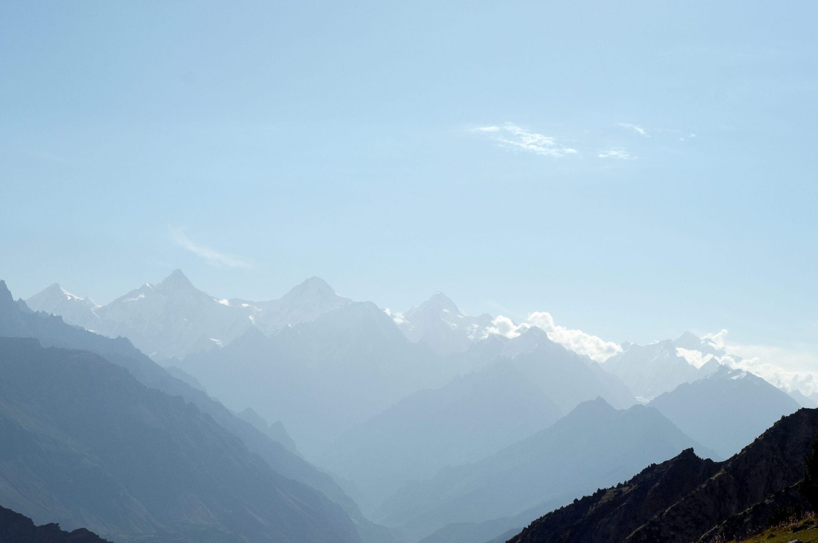
Getting to the mountain, step by step
There is no short way in. The approach runs up the Karakoram Highway into Gojal, then off it into one of the hardest-won valleys in Pakistan. The Shimshal jeep road — 56 km from Passu, carved largely by hand between 1985 and 2003 — now takes three to four hours in a 4×4. Before it existed, Shimshal was a three-day walk from the highway.
- Islamabad to Gilgit or Hunza. Fly to Gilgit when the weather allows, or drive the KKH. Build in buffer days either way; mountain flights cancel.
- Hunza to Passu. A short highway day up through Gojal, past Attabad Lake and the Passu Cones. Permits and liaison-officer formalities are settled around here.
- Passu to Shimshal (3,113 m). Three to four hours of exposed jeep road above the Shimshal river gorge. This is where the expedition really starts.
- Shimshal to base camp. Porter stages up the side valley to a base camp beneath the western flanks, near the Baltbar Glacier system. Days here depend on the exact objective and the porter agreement — we cost this honestly rather than quoting a number that flatters the brochure.
- Acclimatisation rotations. Two to three loops above base camp before any summit attempt. See our acclimatisation guide for how we structure these.
- Summit push and descent. A weather window of three to four settled days, then out the way you came.
Treat that as the shape of the trip, not a timetable. On a peak this rarely visited, the itinerary is written by the glacier and the weather, and we would rather adjust than push.
The history: two brothers, a rotten ridge, and one man alone
Lupghar Sar West was first climbed in 1979 by the German brothers Hans and Sepp Gloggner, by the southwest ridge. Their account is honest about the rock: very rotten. Japanese teams repeated the line in 1979 and 1980, and the first of those expeditions kept going, traversing more than 1.5 km east along the sharp summit ridge — Tatsuo Nazuka, Hitoshi Shimizu and Yuichi Wanantabe making the first ascent of the central, and highest, summit. Lupghar Sar East waited until 1987, when the Swiss climbers Lukas Cestmir, Edi Furrer and Ruth Steinmann took the east ridge.
Then, for the best part of thirty years, almost nothing.
On 7 July 2018 the Austrian alpinist Hansjörg Auer walked out of base camp alone. Seven and a half hours took him to a bivouac at 6,200 m. The next morning he climbed a line up the left side of the untouched west face onto the steep northwest ridge, left his gear at around 6,900 m, and continued over loose rock to the summit at 11:30. Just below the summit cornice he found an old piece of rope — almost certainly left by the 1979 party. He was back in base camp by eight that evening. The climbing, by his own reckoning, was 50–55° ice with sections of M3/M4, on rock he described as really bad. He carried a 60 m, 5 mm rope, three ice screws, two cams, two nuts and a single piton. The ascent won the Piolets d’Or in 2019.
Auer died in April 2019 in an avalanche on Howse Peak in Canada, alongside David Lama and Jess Roskelley. Lupghar Sar was one of his last great climbs, and the reason most climbers have heard the name at all.
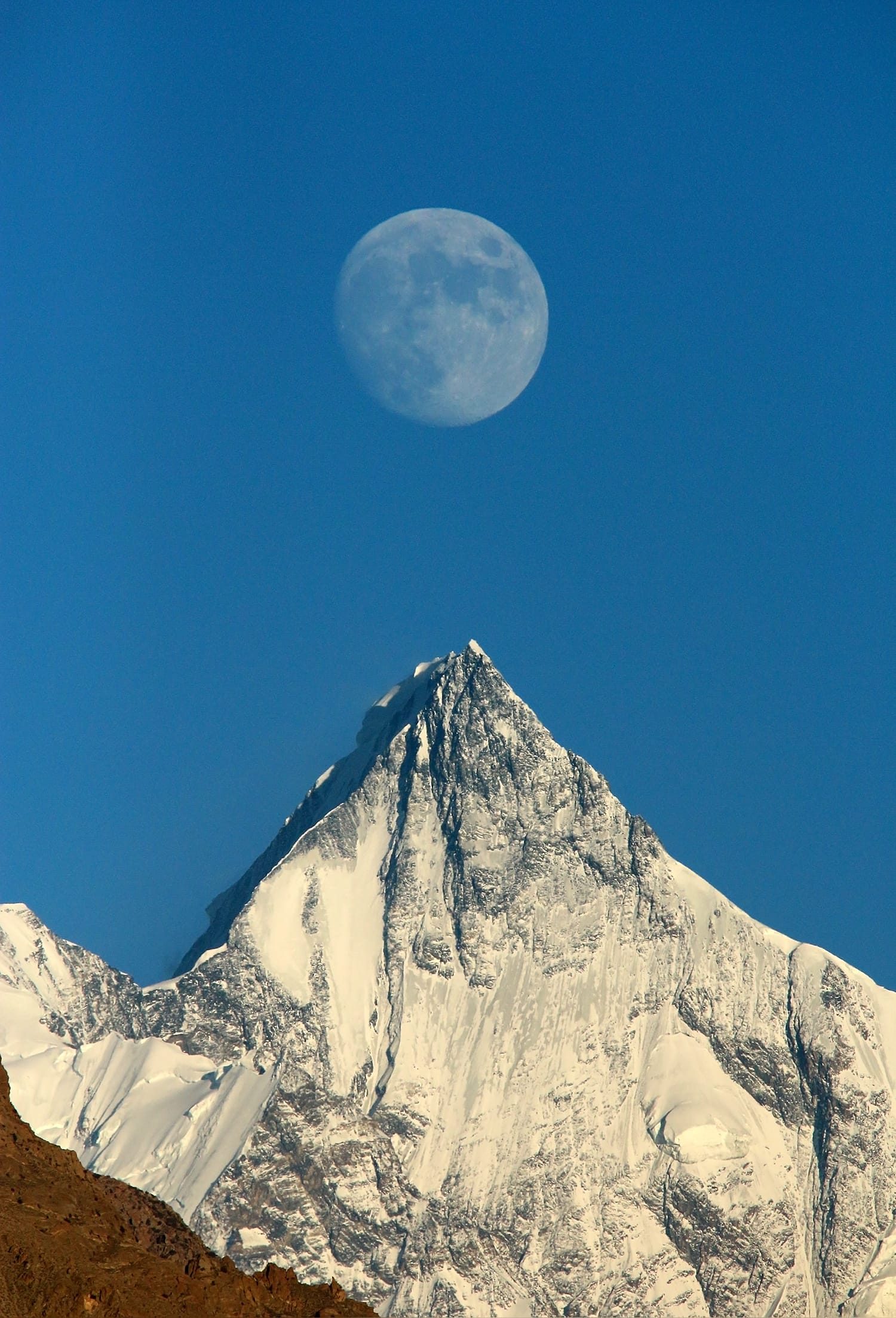
When to go
The window is narrow and it is a summer window. Snow conditions on the west face and the state of the approach glacier decide the trip more than the calendar does.
| Months | Conditions | Verdict |
|---|---|---|
| April–May | Deep snow low down, unsettled weather, glacier bridges unreliable | Too early for most teams |
| June | Approach opening up, cold and still snowy high; long daylight | Workable for strong, self-sufficient parties |
| July | The classic window — Auer summited on 7 July; warmest, most settled spells | Best overall |
| August | Still climbable; more crevasse exposure as the glacier bares out | Good, with care on the approach |
| September onward | Cold returns fast, shorter days, storms | Closing down |
For how the seasons behave across the wider region, see our guide to the best time to visit Gilgit-Baltistan.
How hard it is — honestly
This is a serious alpine objective, not a guided walk-up. Three things make it hard.
The rock
Every published account of this mountain, from 1979 to 2018, says the same thing: the rock is loose. On the summit ridge that means slow, careful movement where protection is often notional. If you are not comfortable climbing on bad rock at altitude, this is the wrong peak.
The altitude
7,157 m on the west summit, 7,200 m on the central. You need previous experience above 6,500 m, and you need a proper rotation plan. Nobody arrives fit enough to skip acclimatisation.
The approach
The upper glacier under the west face is broken and crevassed. Auer used his acclimatisation forays partly just to work out a safe line to the base of the climb. Budget days for that.
If you want a first seven-thousander in Pakistan, Spantik is the honest recommendation. Come to Lupghar Sar after it, not before.
Getting there and what it costs
Most teams fly into Islamabad, then either fly Islamabad–Gilgit or drive the Karakoram Highway north. Flights are quick and weather-dependent; the road always works but eats two days each way. For a rarely climbed peak we usually recommend the road at least one direction — it acclimatises you gently and it removes a cancellation risk from the front of the trip.
On cost: we keep pricing personal rather than posting a number that goes stale. Lupghar Sar is not a fixed-departure product with a fixed price — permit costs, liaison-officer arrangements, porter stages and how much high-altitude support you want all move the figure. Tell us the objective, the dates and the size of your team, and we will give you a proper written breakdown. Fair price, no corners cut — and we would rather lose the booking than quote you a number that only works because the sat phone or the rescue plan got left out of it.
If you want the same range at lower commitment, the Shimshal Pass trek takes you into the same valley system on foot.
Frequently asked questions
How high is Lupghar Sar?
The central summit is commonly quoted at 7,200 m and the west summit at 7,157 m, making it the 108th highest mountain in the world. Some climbers who have photographed the ridge believe the east summit may actually be higher than the central one — a measure of how rarely the mountain is visited.
Who first climbed Lupghar Sar?
Lupghar Sar West was first climbed in 1979 by the German brothers Hans and Sepp Gloggner via the southwest ridge. The central (main) summit was first reached shortly afterwards by a Japanese team — Tatsuo Nazuka, Hitoshi Shimizu and Yuichi Wanantabe — who traversed more than 1.5 km east along the summit ridge. Lupghar Sar East followed in 1987, climbed by a Swiss party.
What did Hansjörg Auer do on Lupghar Sar?
On 7 July 2018 he made a solo first ascent of the west face of Lupghar Sar West, bivouacking at 6,200 m and reaching the 7,157 m summit at 11:30 the following morning before descending to base camp the same day. The climb won the 2019 Piolets d’Or.
Is Lupghar Sar suitable for a first 7,000 m peak?
No. The rock is loose, the approach glacier is heavily crevassed and there is no support infrastructure on the mountain. We would point a first-time seven-thousander at Spantik instead, and welcome you back here afterwards.
When is the climbing season on Lupghar Sar?
June to August, with July generally the most settled window — Auer summited on 7 July. Earlier than June the approach is usually still buried; from September the weather closes in quickly.
Talk to the team that lives here
We are a local Gilgit-Baltistan operator with our own guides, our own logistics and our own kit — not a broker who sells your booking on to someone else. If you are serious about Lupghar Sar, send us the dates and we will tell you honestly whether it is the right mountain for your team.
WhatsApp: +92 312 9921574 | Email: info@karakoramventure.com
Sources & attribution: altitude, naming and ascent history from Wikipedia and the American Alpine Journal (Hansjörg Auer, “Solo on Lupghar Sar West”, AAJ 2019, including the editors’ historical notes on the massif); Shimshal road and village figures from published regional sources. Photographs: Rizwan.shinaki — CC BY-SA 4.0; Imran Shah — CC BY-SA 2.0; Irfan karim — CC BY-SA 4.0; all via Wikimedia Commons. Altitudes in the Karakoram vary between sources and should be treated as approximate.

