



Kampire Dior is a roughly 7,143-metre peak at the head of the Karambar Glacier, in the western Batura Muztagh of the Karakoram, Gilgit-Baltistan. It is reached from the Karakoram Highway at Sost through the Chapursan Valley, or from the Ishkoman side up the Karambar. A full expedition runs about three to four weeks door to door, with the working window from late June to early September. It is technically moderate by Karakoram standards and logistically remote — the difficulty here is isolation, not steepness.
We run this out of Skardu with our own team, and we will be straight with you: Kampire Dior is not a mountain you climb for the crowd. There is no crowd. It was climbed in 1975 and has seen very little traffic since. If you want a 7,000-metre summit where the only tracks in the snow are the ones you made yesterday, this is one of the last honest options in Pakistan. If you want fixed ropes, a busy base camp and a rescue helicopter twenty minutes away, go and climb something else — we will happily send you to the Baltoro instead.
Key Takeaways
- Height: approximately 7,143 m. Published figures vary between about 7,143 m and 7,168 m — treat the exact number as approximate.
- Range and position: Batura Muztagh, western Karakoram, at the head of the Karambar Glacier — roughly 36.62°N, 74.32°E. Prominence is around 1,406 m.
- First ascent: 1975, by a Japanese expedition, via the south-west ridge from the Karambar Glacier.
- Approach: Gilgit → Karakoram Highway → Sost → Chapursan Valley by jeep; or the longer Ishkoman–Karambar walk-in.
- Season: late June to early September; July and August are the settled core.
- Trip length: plan 24–30 days including approach, acclimatisation rotations, weather days and the walk out.
Where Kampire Dior is, and why almost nobody goes
Most people who fly to Pakistan for a mountain fly toward Skardu and the Baltoro. Kampire Dior sits at the other end of the Karakoram. It is the high point at the head of the Karambar Glacier, in the far west of the Batura Muztagh, close to where the Karakoram runs out and the Hindu Kush begins. Below it to the north lies Chapursan — a long, dry Wakhi valley running parallel to the Afghan border, ending near the Irshad Pass and the Wakhan Corridor.
The name comes from Wakhi and is usually translated as “house of the old woman”. The people who live under it are Wakhi, not Balti; the language, the food and the pace of the day are different from Hushe or Askole. Our Balti staff work with local Wakhi porters and cooks here, because that is how it should be done — the people of Chapursan know that glacier better than anyone we could bring from Skardu.
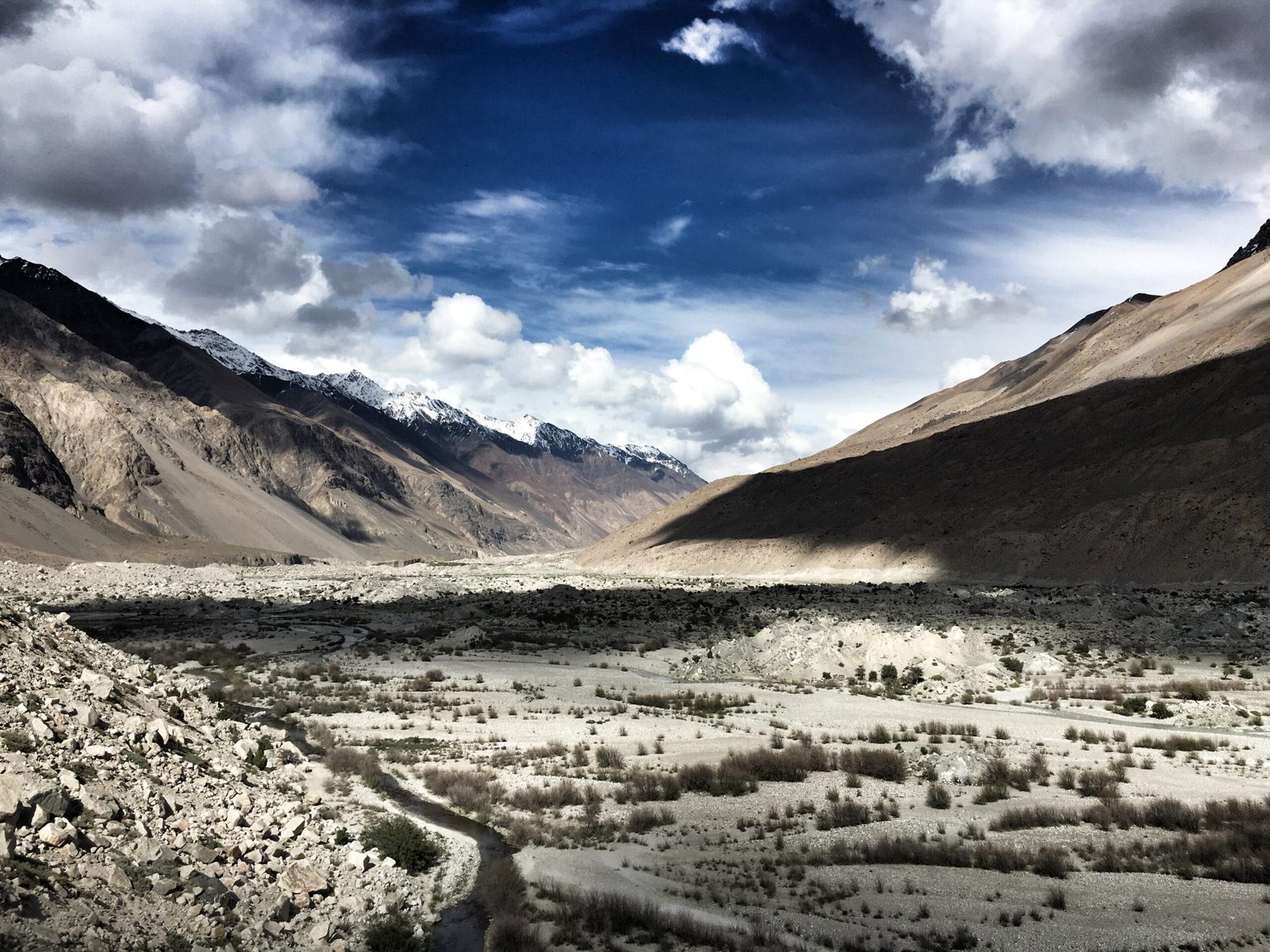
Put it next to its neighbours and the picture is clear. Kampire Dior is the smallest of the Batura Muztagh giants, and that is exactly why it is climbable by a competent private team rather than a national expedition. The Batura Wall to the east is another order of commitment entirely.
The route, step by step
Two approaches work. The Chapursan side is faster and is what we normally run; the Ishkoman–Karambar side is a long, beautiful walk-in past Karambar Lake and suits teams who want the trek to be half the trip. Camp altitudes below are typical rather than fixed — the glacier decides where you actually sleep.
- Days 1–2 — Islamabad to Gilgit. Fly if the weather allows, or drive the Karakoram Highway. Build in a buffer day; mountain flights get cancelled.
- Day 3 — Gilgit to Sost. Roughly five to six hours up the KKH through Hunza and Gojal, past the Passu Cones.
- Day 4 — Sost to Zood Khun, Chapursan. A rough jeep road climbs west, roughly seventy kilometres of dust and river crossings. Three to four hours in good conditions, longer after rain.
- Day 5 — Acclimatisation at Chapursan. Walk up to the Baba Ghundi Ziarat and back. Sleep low, walk high, drink more than you want to.
- Days 6–8 — Walk in to Base Camp (around 4,200 m). Porters and, on the Chapursan side, often yaks. Moraine, meltwater channels and a lot of loose rock.
- Days 9–18 — Rotations. Camp 1 around 5,000 m, Camp 2 around 5,800 m, Camp 3 around 6,400–6,500 m. Carry, sleep, come down, repeat. This is where the trip is won.
- Days 19–24 — Summit window. Wait for a settled two-day slot, move to the high camp, and go before first light. Snow slopes and a corniced ridge, not hard climbing — but at 7,000 m nothing is easy.
- Days 25–28 — Clear the mountain and walk out. Strip the camps, carry it all down, jeep back to Sost and Gilgit.
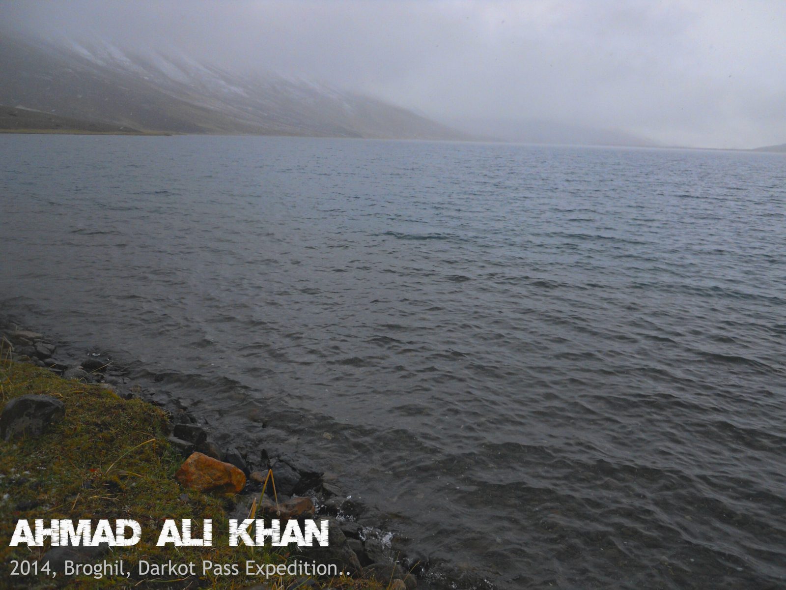
1975, and the long quiet since
Kampire Dior was first climbed in 1975 by a Japanese expedition, which took the south-west ridge from the Karambar Glacier. That is the short version, and it is most of the story. Unlike the Baltoro peaks, this one never became a name that expedition sponsors recognised, so it never attracted repeat traffic. The American Alpine Club records list attempts and scattered activity in the Karambar and Yashkuk areas over the following decades, but nothing that turned Kampire Dior into a trade route.
That matters practically, not just romantically. There is no trench of old fixed line to follow, no cached gear, no reliable recent route beta. You plan from maps, satellite imagery, whatever your team can find in the journals, and what the porters from Chapursan tell you about this year’s snow. We think that is the point. It is also why we are careful about who we take.
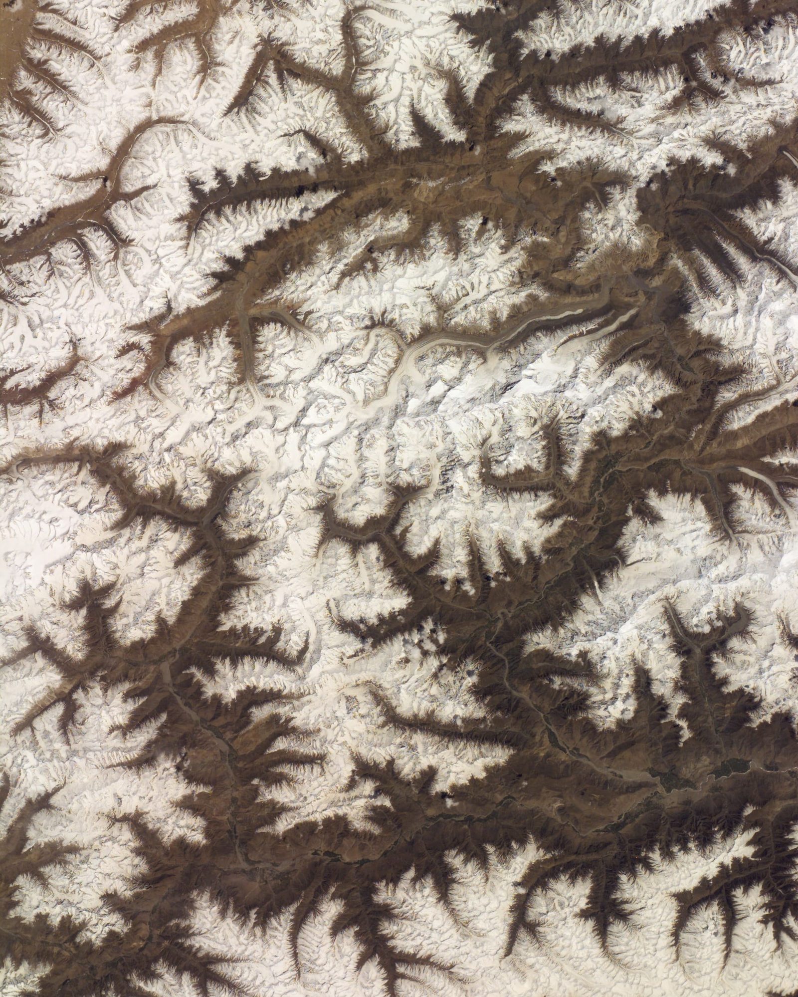
If the history side of the Karakoram is what pulls you, the same quiet holds on Muchu Chhish and Passu Sar, and on the Hispar side at Lupghar Sar.
When to go
| Months | Conditions | Verdict |
|---|---|---|
| April – May | Deep unconsolidated snow low down, cold nights, unreliable jeep road into Chapursan. | Too early. Approach alone will cost you days. |
| June | Snowpack settling, long daylight, cold but stable enough. Glacier still well covered. | Workable for a strong, self-sufficient team. |
| July – August | Warmest and most settled. Crevasses opening, meltwater high, but the best summit weather. | The core window. This is when we run it. |
| Early September | Colder, clearer, shorter days. Firmer snow, faster travel. | Good, if your team can move quickly. |
| Late Sept – October | Winter arriving. Storms, dropping temperatures, the Chapursan road increasingly unreliable. | Closing down. Not worth the risk. |
| November – March | Full Karakoram winter at 7,000 m. | Not a working season. |
For a wider view of the region’s weather and road seasons, see our guide on the best time to visit Gilgit-Baltistan.
How hard it is — honestly
The climbing itself is moderate: snow slopes, glacier travel, a ridge that carries cornices and needs respect. There is nothing here that a competent alpinist with real crampon and rope skills cannot handle in good conditions. That is not the same as saying it is easy.
What actually makes it hard
- Altitude. Above 7,000 m, and you get there without the graded acclimatisation ladder a busy peak provides. Read our acclimatisation guide before you commit — and take it seriously.
- Remoteness. From base camp, help is days away, not hours. That single fact changes every decision you make on the hill.
- Unknowns. No recent route beta. You may find a line that goes easily, or you may find a serac barrier that turns you around at 6,000 m.
- Load carrying. Small team, no fixed infrastructure, several rotations. You will move a lot of weight yourself.
- Weather. The western Karakoram gets its own systems. Sitting out four days at Camp 2 is a normal outcome, not bad luck.
Who this suits: climbers with previous 6,000 m experience, ideally a Karakoram or Himalayan season already behind them, comfortable on a rope team and happy to make decisions without a guide holding their hand. If Spantik went well for you, this is a sensible next step. If your only high day was a trekking peak, build up first.
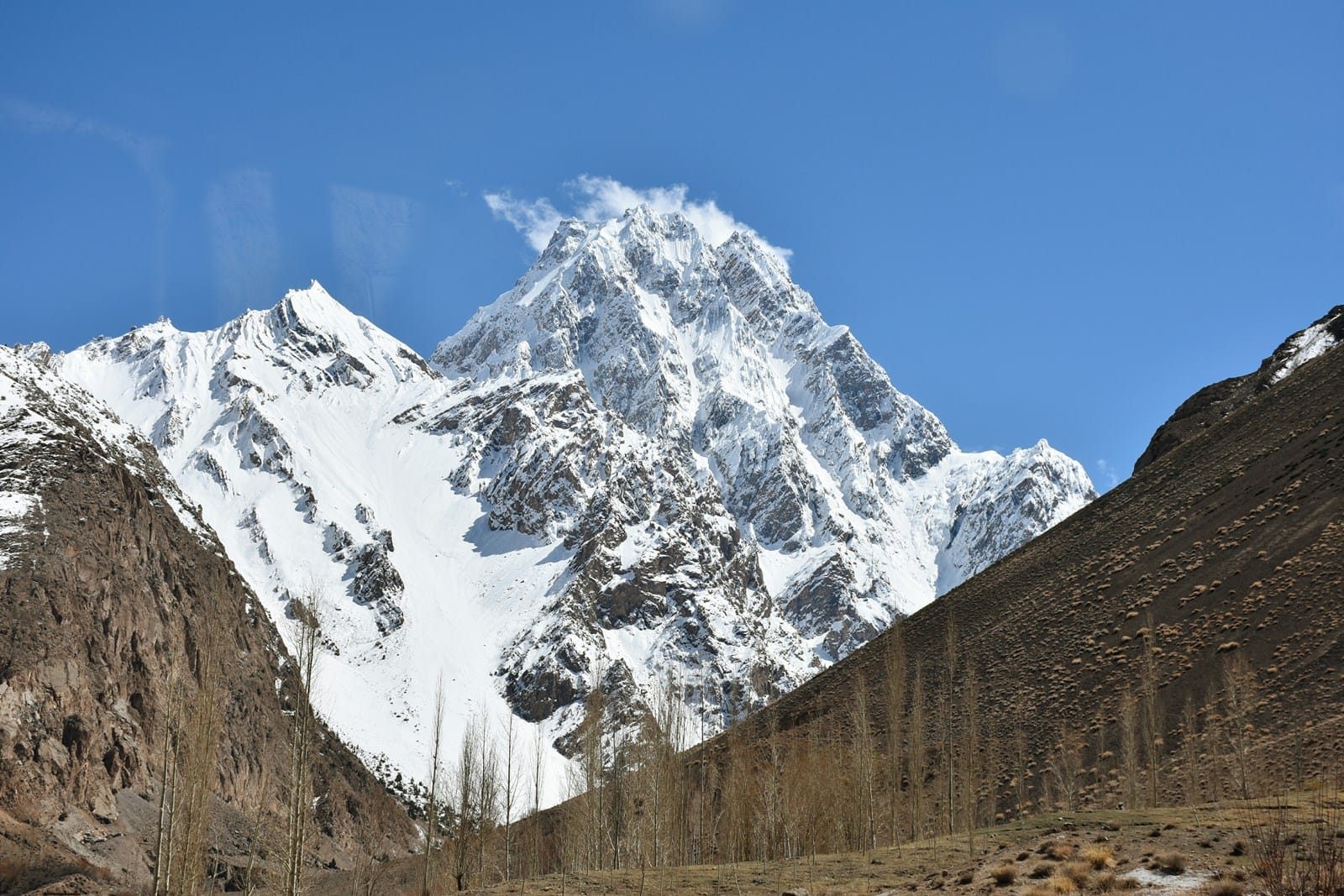
The real risk, and what we do about it
The danger on Kampire Dior is not the ridge. It is that you are a very long way from help. A crevasse fall, a serious altitude illness or a broken leg at Camp 2 is a multi-day problem in a valley with no road-head hospital and patchy helicopter access.
So we resource it properly. A satellite phone goes with the expedition, and we carry a proper expedition medical kit. We hold established helicopter-rescue contacts for the region and we file a written evacuation plan before you leave Gilgit — who calls whom, from where, with what coordinates, and who pays. We require valid high-altitude rescue insurance with a confirmed guarantee of payment; our insurance guide explains what to look for. Budget operators skip these because you cannot see them in a brochure. We name them because they are the difference between an incident and a death.
Permits and visa
Kampire Dior is above 6,500 m, so it needs a mountaineering permit from the relevant authorities, with royalty, a liaison officer and a formal expedition application — a different process from an open-zone trekking permit. Applications take months, not weeks, so start early. Chapursan is a sensitive border valley near the Afghan frontier, and additional local clearances can apply; we handle these with the Gojal authorities on your behalf.
You will also need the correct visa. Climbers need a Trekking & Mountaineering visa, not a standard tourist visa — see our Pakistan visa guide for trekkers and climbers. If you are entering overland via Khunjerab Pass, tell us in advance; the paperwork differs.
Getting there and what it costs
Islamabad to Gilgit by air is the fast route, weather permitting; the drive up the Karakoram Highway is the reliable one. From Gilgit it is a road day to Sost and a rough jeep day into Chapursan. Skardu is on the other side of the region, so unlike our Baltoro trips this one stages out of Gilgit — our team travels to meet you there.
On price: we keep pricing personal rather than posting a number that goes stale the moment porter rates, royalty fees or fuel move. An expedition like this is quoted on team size, days on the hill, permit and royalty costs, any oxygen and medical provision, and how much staff support you want. What we promise is a fair price with no corners cut — not the cheapest quote in your inbox, and not padded either. Tell us your dates and your team, and we will send you a full written breakdown showing exactly where the money goes.
If Kampire Dior turns out to be more mountain than you want this year, the same team runs Shispare Sar and a range of Karakoram objectives at every level.
Frequently asked questions
How high is Kampire Dior?
About 7,143 m. Published sources differ — you will see 7,143 m, 7,155 m and 7,168 m quoted — because the peak has never been the subject of a definitive modern survey. Treat any single figure as approximate. Its prominence is around 1,406 m, which makes it a genuinely independent summit rather than a subsidiary top.
Has Kampire Dior been climbed?
Yes. The first ascent was made in 1975 by a Japanese expedition, via the south-west ridge approached from the Karambar Glacier. It has seen very little traffic since, and there is no established trade route, no fixed rope and no reliable recent beta on the upper mountain.
How do you get to Kampire Dior base camp?
The usual way is Gilgit to Sost on the Karakoram Highway, then a rough jeep road west into the Chapursan Valley as far as Zood Khun or Baba Ghundi, followed by two to three days of walking with porters or yaks to a base camp at roughly 4,200 m. The alternative is the longer Ishkoman–Karambar walk-in from the south, past Karambar Lake, which adds several days but makes a superb trek in its own right.
Do I need a special permit to climb Kampire Dior?
Yes. Because it is above 6,500 m it requires a formal mountaineering permit with royalty payment and a liaison officer, rather than a trekking permit. Chapursan is also close to the Afghan border, so additional local clearances may be needed. You need a Trekking & Mountaineering visa for Pakistan, not a tourist visa. Allow several months for the paperwork.
How fit and experienced do I need to be?
Fit enough to carry a heavy pack for six to eight hours a day at altitude, repeatedly, for weeks. Experienced enough to move safely on a glacier rope team, place a snow anchor, manage crevasse rescue and self-assess for altitude illness. Previous experience above 6,000 m is effectively a requirement. This is not a peak to attempt as a first high-altitude objective — we will tell you honestly if we think you are not ready yet.
Talk to the people who actually run it
We are a local team from Gilgit-Baltistan, not a broker reselling someone else’s expedition. Your guides, cooks and logistics are ours, and the porters on the Chapursan side are from the villages under the mountain. Local hands, real safety, fair price.
WhatsApp: +92 312 9921574
Email: info@karakoramventure.com
Send us your dates, team size and climbing history, and we will come back with an honest assessment and a full written quote — including whether we think Kampire Dior is the right mountain for you this year.
Sources & attribution: elevation, location and prominence data from Wikidata, PeakVisor and standard Karakoram references; first-ascent and route history from American Alpine Club publications and the Seven Thousanders records; access and road information cross-checked against regional travel sources. Where figures differ between sources, the common value is given and marked approximate. Images: Ferozagulzar (CC BY-SA 4.0); Ahmad Nafees Torwali (CC BY-SA 4.0); NASA (public domain); Ahmad Ali Khan (CC BY 3.0) — all via Wikimedia Commons.

