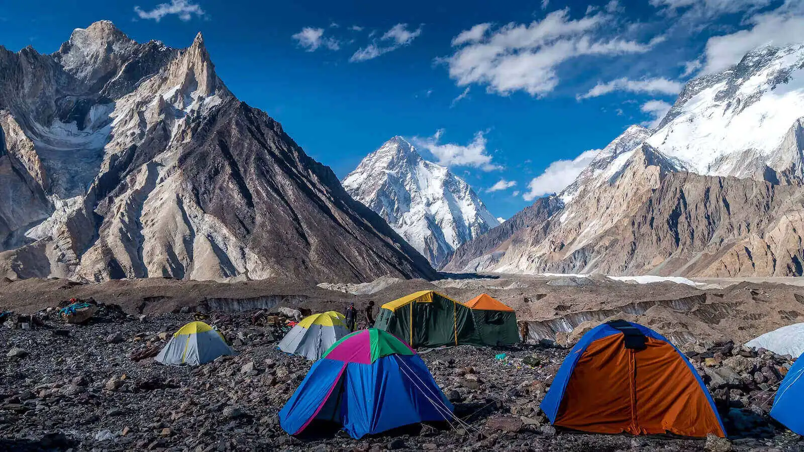
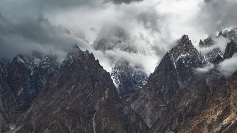
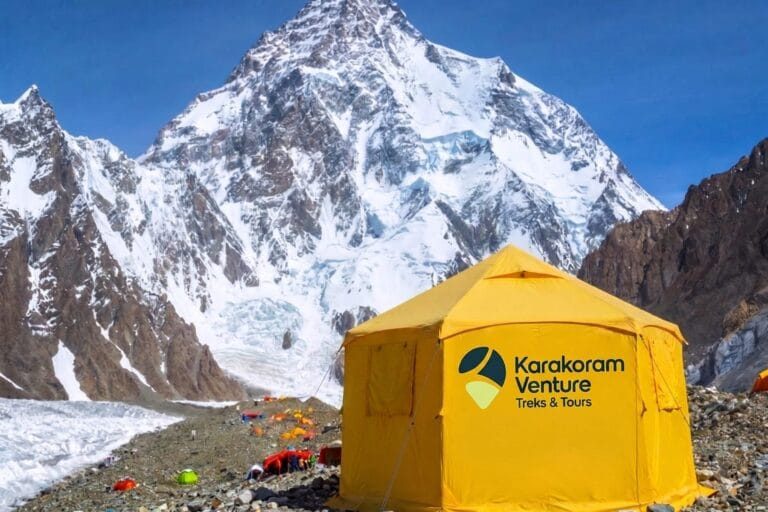
K2 is 8,611 metres high, the second-highest mountain on earth. Moreover, it stands in Pakistan’s Karakoram, not the Himalaya. You reach it on foot along the Baltoro Glacier from the village of Askole. That is a jeep day beyond Skardu, where our team lives. In short, this page is the map of everything we have written about K2. It covers where it is, how high it is, and what the Base Camp trek involves. Then it sets out what it costs and how hard it is. Finally, it explains how the climbers who go higher do it. Every guide linked here was written by people who walk this valley each season.
K2 at a glance
| Height | 8,611 m (28,251 ft) |
|---|
| Rank | Second-highest mountain on earth, after Everest (8,849 m) |
|---|
| Range | Karakoram, Baltoro Muztagh |
|---|
| Country | Pakistan (Gilgit-Baltistan), on the border with China |
|---|
| First ascent | 31 July 1954, Lino Lacedelli and Achille Compagnoni, Italian expedition |
|---|
| Deaths and summits | About 92 deaths against some 964 summits in the mountain’s history |
|---|
| Base Camp | About 5,150 m, reached on foot from Askole in seven to eight walking days |
|---|
| Trek season | June to September, with April, May and October possible at the margins |
|---|
| Nearest town | Skardu; seven to nine hours by 4×4 to the trailhead at Askole |
|---|
Where K2 is, and why it is not in the Himalaya
K2 sits on the watershed between Gilgit-Baltistan in Pakistan and Xinjiang in China. Specifically, it stands at the head of the Godwin-Austen Glacier, a side branch of the Baltoro. People search for it under the Himalaya, because the two ranges are neighbours. However, the Karakoram is a separate range. It has its own geology, its own drier summer weather and the longest glaciers outside the polar regions. Our guide to the Karakoram Range, its location and its four 8,000-metre peaks explains where the range starts and ends. In addition, it explains why Concordia has so many giants in one place. The Pakistani side is the only side you can walk to Base Camp from. Meanwhile, the Chinese north side means camels and weeks on the Shaksgam.
How high it is, and how it compares with Everest
8,611 metres makes K2 second to Everest by 238 metres. However, the gap in difficulty runs the other way. Everest’s normal routes have villages to 4,400 metres, and a long ladder of lodges and fixed infrastructure from the first day. K2 has none of that. Base Camp is a tent on the glacier, and the climbing starts immediately. Moreover, the Bottleneck couloir at roughly 8,200 metres passes under a hanging serac. Therefore its fatality record reads the way it does. Our K2 death rate guide separates the climb’s statistics from the trek’s, which are not the same thing at all. Finally, if you are choosing between the two base camp treks, read the K2 Base Camp versus Everest Base Camp comparison before you decide.
The K2 Base Camp trek: the walk-in along the Baltoro
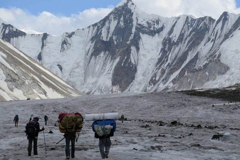
From Askole, at about 3,000 metres, the trail follows the Braldu river to Jhola and Paiju. Then it climbs onto the Baltoro Glacier itself: Urdukas, Goro II and Concordia at about 4,600 metres. There Broad Peak and the Gasherbrums stand around you, and K2 fills the head of the valley. One long day up the Godwin-Austen Glacier reaches K2 Base Camp at 5,150 metres. On the Classic route that is 12 to 14 days on foot inside a 21-day trip from Islamabad. Moreover, every night is in a tent and half the days are on moraine. It is a demanding glacier walk, not a climb. Indeed, no ropes are needed unless you choose to return over the Gondogoro La. These are the ways we run it.
If you want more days on the glacier rather than fewer, the K2 Base Camp Trek Extended adds acclimatisation time over 24 days.
How hard it is, what it costs, and what to pack
Paperwork, plainly. The K2 Base Camp trek sits in a restricted zone near the border. Therefore it needs more than a tourist stamp: a Pakistan Trekking and Mountaineering visa, a trekking permit and an NOC. We handle the permit and the NOC, and we send you a Letter of Invitation for the visa. Moreover, the standard fees are inside the package price. Finally, valid insurance covering high-altitude trekking and emergency evacuation is required, not optional.
The Gondogoro La option
The Gondogoro La, at 5,585 metres, turns the out-and-back into a loop. From Concordia you climb the pass on fixed ropes in the early hours. Then you drop into the Hushe Valley under Laila Peak and Masherbrum. In that way you finish in villages instead of retracing the Baltoro. It adds one day of real exposure. Moreover, it needs the pass to be open, which is usually from July. Three guides cover it: crossing the Gondogoro La from K2 Base Camp, the full route guide from Concordia to Hushe, and what the Gondogoro La trek costs. The trip is the K2 Base Camp and Gondogoro La Trek, 21 days.
Concordia and the Baltoro’s other giants
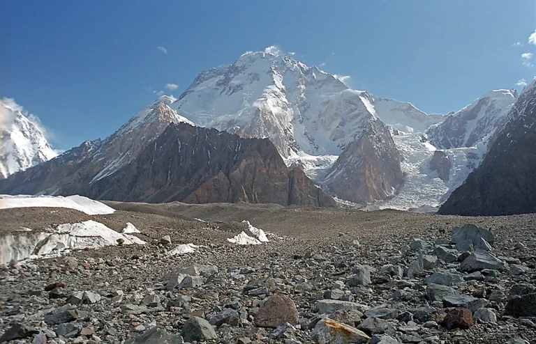
The Baltoro is 63 kilometres of ice, and it is lined with mountains that would be famous anywhere else. Concordia is the junction where the Baltoro meets the Godwin-Austen Glacier. Moreover, our Baltoro Glacier guide walks the whole corridor camp by camp. Along it stand Broad Peak (8,051 m), Gasherbrum I and II and the Shining Wall of Gasherbrum IV. Then comes Masherbrum, which the old survey called K1. Further along are the granite of the Trango Towers, Mitre Peak above Concordia and Paiju Peak above the first glacier camp. Finally there is the Muztagh Tower. Every peak guide for the Baltoro is listed below.
The Baltoro peaks one by one
- Concordia: The Throne Room of the Mountain Gods — K2, Broad Peak & the Baltoro (2027)
- Baltoro Glacier: The Frozen Highway to the Mountain Gods
- Broad Peak Expedition (8,051 m): The Karakoram’s Most Achievable 8000er, Honestly (2027)
- Gasherbrum IV (7,925 m): The Shining Wall of the Baltoro (2027)
- Masherbrum (K1, 7,821 m): The Original K1 and the Hushe Valley Trek Beneath It (2027)
- Trango Towers: The Nameless Tower, the Great Wall & the Trek to See Them (2027)
- Mitre Peak (6,010 m): The Rock Tower at Concordia, Climbed Once in 1980 (2027)
- Paiju Peak (6,610 m): The Baltoro’s Gatekeeper — Campsite, Route & First Ascent (2027)
- Muztagh Tower (7,273 m): The Last Citadel of the Baltoro — Route, History & 2027 Guide
- Gasherbrum I & II Expedition (8,080 m & 8,035 m): The Twin Eight-Thousanders of the Baltoro (2027)
- Crystal Peak (6,252 m): The 1892 Summit Above the Baltoro
- Lobsang Spire (5,707 m): The Baltoro Big Wall You Walk Right Past
- Shipton Spire (about 5,885 m): The Hidden Big Wall Above the Trango Glacier
- Mustagh Pass (5,422 m): The Old Caravan Route Over the Baltoro Muztagh
- Broad Peak Central (8,011 m): The Eight-Thousander That Does Not Count (2027)
- Skyang Kangri (7,545 m): The Staircase Peak Beside K2 — Route, History & 2027 Guide
- Skil Brum (7,410 m): K2’s Overlooked Neighbour and the 53-Hour First Ascent (2027)
- Praqpa Ri (7,134 m): The Unclimbed 7,000er Next Door to K2 — Route, History and Access 2027
- Baltoro Kangri (Golden Throne) 7,312 m: Route, History and Climbing Guide
- Sia Kangri (7,422 m): The Conway Saddle Peak at the Head of the Baltoro
- Chogolisa Expedition (7,665 m): The Bride Peak of the Baltoro (2027)
- Askole: The Last Village Before K2 — Road, Altitude & Treks (2027)
Climbing K2: the expedition
Most commercial expeditions climb the Abruzzi Spur from the south. Specifically, Camps 1 to 3 sit on the spur, Camp 4 on the Shoulder, and then come the Bottleneck and the summit slopes. Our K2 Expedition runs 55 days from Skardu, full-board and guided. Moreover, we take climbers with prior 7,000-metre experience and a minimum team of four. The season is short. Permits and the liaison officer take time, and teams arrive in June. Summit windows come in late July and early August. Then the Baltoro empties by September. Broad Peak, eight kilometres away, is the more achievable eight-thousander, and it shares the approach. Read the K2 expedition guide for the route, the history and the cost. In addition, read the Baltoro climbing season for how a summer unfolds. Finally, read winter climbing in the Karakoram for why K2 was the last eight-thousander to fall in winter.
When to go
For the trek, June to early September is the working season. Late June and July give the steadiest weather on the Baltoro. Meanwhile, August brings afternoon cloud, but the Gondogoro La is at its best. By late September the camps are cold, and the jeep road to Askole can close with the first snow. April, May and October are possible for fit teams who accept more weather risk. For the climb, teams arrive in June and summit in late July or early August. Our season guide breaks that window down month by month. Finally, our best time to visit Gilgit-Baltistan guide covers the whole year, valley by valley.
Every Baltoro and Karakoram guide on this site
The mountain: the Karakoram Range · K2 death rate and statistics · K2 Base Camp vs Everest Base Camp · K2 expedition guide
The trek: cost, route and dates · how hard it is · packing list · acclimatisation · insurance · visa · getting to Skardu · best time to visit
Gondogoro La: the crossing · Concordia to Hushe route guide · cost and dates
Climbing: the Baltoro climbing season · winter ascents
Frequently asked questions about K2
Plan your K2 trek with a local team
Twelve to fourteen days on the Baltoro with Balti guides who grew up in these valleys. Moreover, there is a satellite phone in camp and a rescue plan that actually exists. Local hands, real safety, fair price. 2027 fixed departures are open.
WhatsApp us “K2” for 2027 dates See the K2 Base Camp Trek Classic